Medium airport · United States
Memorial Field AirportKHOT
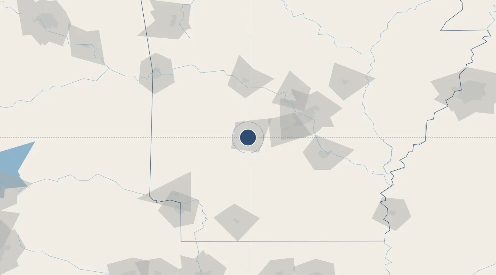
34.4788°, -93.0963°
6,595 ft
Longest runway
2
Runways
540 ft
Elevation
Runway & Layout

Radio Frequencies
ASOS
119.925 MHz
A/D
127.825 MHz
MEMPHIS CNTR
RDO
110 MHz
JONESBORO RDO
UNIC
123 MHz
CTAF/UNICOM
Navaids
HO NDB Hossy 385 kHz
HOT VOR-DME Hot Springs 110.00 MHz
Runways · 2
| Runway | Dimensions | Surface | True heading | Lit |
|---|---|---|---|---|
| 05/23 | 6,595 × 150ft | Asphalt | 054° | ✓ |
| 13/31 | 4,098 × 100ft | Asphalt | 134° | ✓ |
Airport Specifications
IATA code
HOT
ICAO code
KHOT
Airport class
Medium airport
Scheduled service
Yes
Runway surface
Asphalt
Served city
Hot Springs
Location
Nearby Logistics Neighbours
Airports
Cities
- 1Hot Springs National Park7 km
- 2Royal13 km
- 3Pearcy19 km
- 4Jones Mill20 km
- 5Bismarck21 km
Ports
- 1Port Of Memphis275 km
- 2Lake Charles474 km
- 3Baton Rouge483 km
- 4Orange492 km
- 5Beaumont498 km
Trade Zones
- 1FTZ No. 014 Little Rock87 km
- 2FTZ No. 258 Bowie County183 km
- 3FTZ No. 287 Tunica County223 km
- 4FTZ No. 145 Shreveport238 km
- 5FTZ No. 146 Lawrence County238 km
DatabookThe Record of Consolidated Knowledge
United States beyond logistics?