Transport Functions
Rail
Road
Hub Profile
Place type
Populated place
Region
Louisiana
Population
1,125
Time zone
America/Chicago
Elevation
75 m
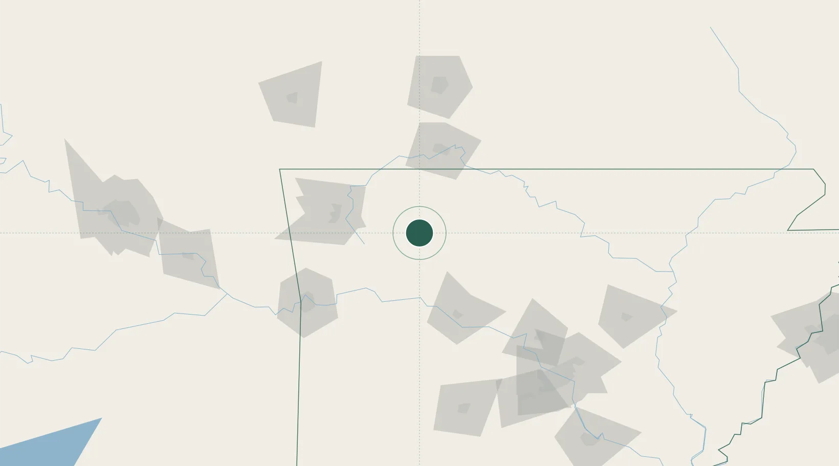
Location
Nearby Logistics Neighbours
Cities
- 1Berryville46 km
- 2Western Grove47 km
- 3Golden64 km
- 4West Fork66 km
- 5Johnson67 km
Ports
- 1Port Of Memphis314 km
- 2Lake Charles640 km
- 3Baton Rouge649 km
- 4Orange655 km
- 5Beaumont657 km
Airports
- 1Boone County Airport42 km
- 2Drake Field65 km
- 3Branson Airport67 km
- 4Northwest Arkansas National Airport85 km
- 5Ozark Regional Airport99 km
Trade Zones
- 1FTZ No. 225 Springfield140 km
- 2FTZ No. 014 Little Rock180 km
- 3FTZ No. 164 Muskogee181 km
- 4FTZ No. 053 Rogers County220 km
- 5FTZ No. 287 Tunica County291 km
DatabookThe Record of Consolidated Knowledge
United States beyond logistics?