Transport Functions
Rail
Road
Hub Profile
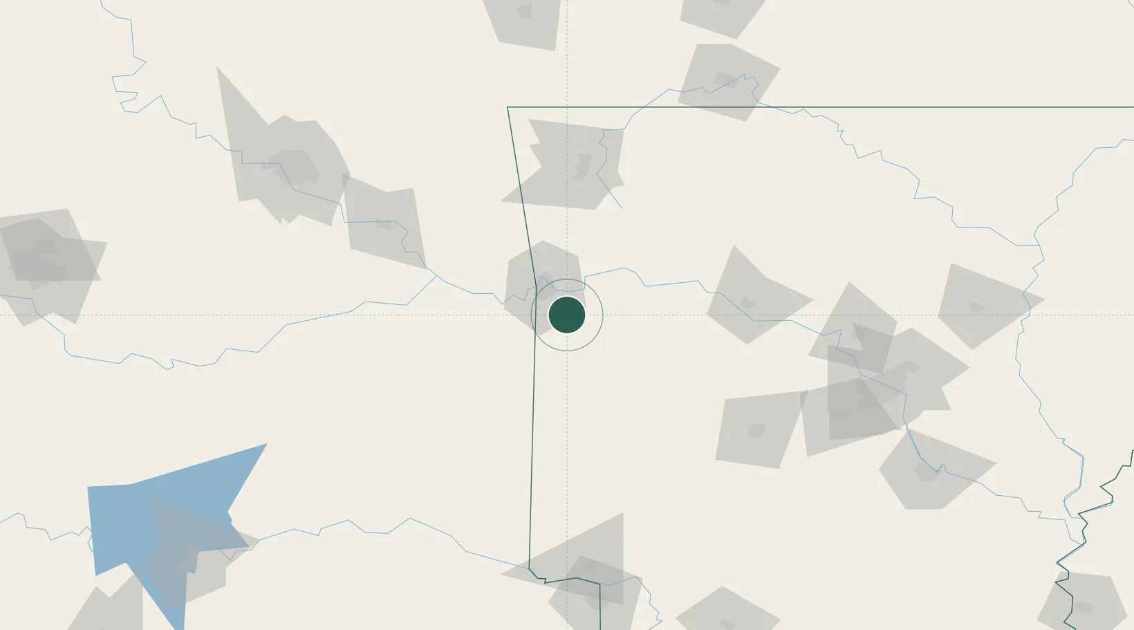
Region
AR
Location
Nearby Logistics Neighbours
Cities
- 1Barling12 km
- 2Lavaca15 km
- 3Mansfield17 km
- 4Charleston21 km
- 5Cameron27 km
Ports
- 1Port Of Memphis372 km
- 2Lake Charles564 km
- 3Beaumont571 km
- 4Orange573 km
- 5Port Neches581 km
Airports
- 1Fort Smith Regional Airport17 km
- 2Drake Field88 km
- 3Northwest Arkansas National Airport119 km
- 4Memorial Field Airport134 km
- 5Mc Alester Regional Airport145 km
Trade Zones
- 1FTZ No. 164 Muskogee122 km
- 2FTZ No. 053 Rogers County191 km
- 3FTZ No. 014 Little Rock196 km
- 4FTZ No. 258 Bowie County197 km
- 5FTZ No. 227 Durant238 km
DatabookThe Record of Consolidated Knowledge
United States beyond logistics?