UN/LOCODE hub · United States
USZB4
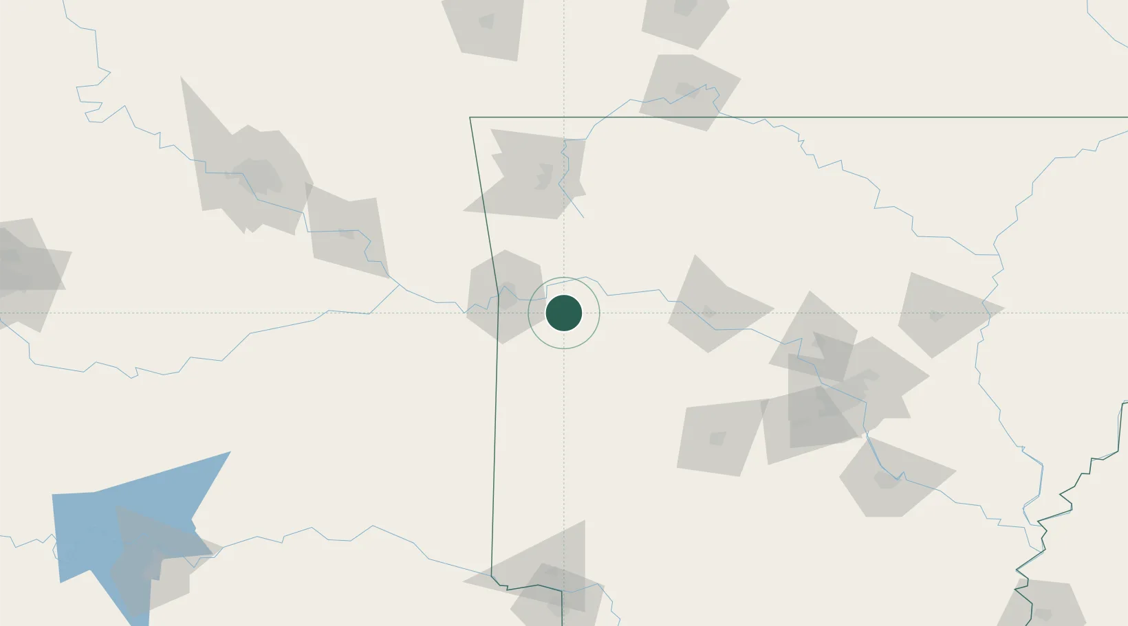
Charleston
35.2833°, -94.0333°
2,483
Population
1
Transport functions
Transport Functions
Multimodal
Hub Profile
Place type
Populated place
Region
Arkansas
Population
2,483
Time zone
America/Chicago
Elevation
158 m
Location
Nearby Logistics Neighbours
Cities
- 1Lavaca13 km
- 2Greenwood, Sebastian21 km
- 3Barling25 km
- 4Mansfield31 km
- 5Scranton46 km
Ports
- 1Port Of Memphis352 km
- 2Lake Charles568 km
- 3Beaumont578 km
- 4Orange579 km
- 5Port Neches588 km
Airports
- 1Fort Smith Regional Airport31 km
- 2Drake Field81 km
- 3Northwest Arkansas National Airport114 km
- 4Memorial Field Airport124 km
- 5Boone County Airport135 km
Trade Zones
- 1FTZ No. 164 Muskogee137 km
- 2FTZ No. 014 Little Rock179 km
- 3FTZ No. 053 Rogers County202 km
- 4FTZ No. 258 Bowie County209 km
- 5FTZ No. 225 Springfield227 km
DatabookThe Record of Consolidated Knowledge
United States beyond logistics?