Transport Functions
Rail
Road
Multimodal
Hub Profile
Place type
Populated place
Region
Wisconsin
Population
323
Time zone
America/Chicago
Elevation
351 m
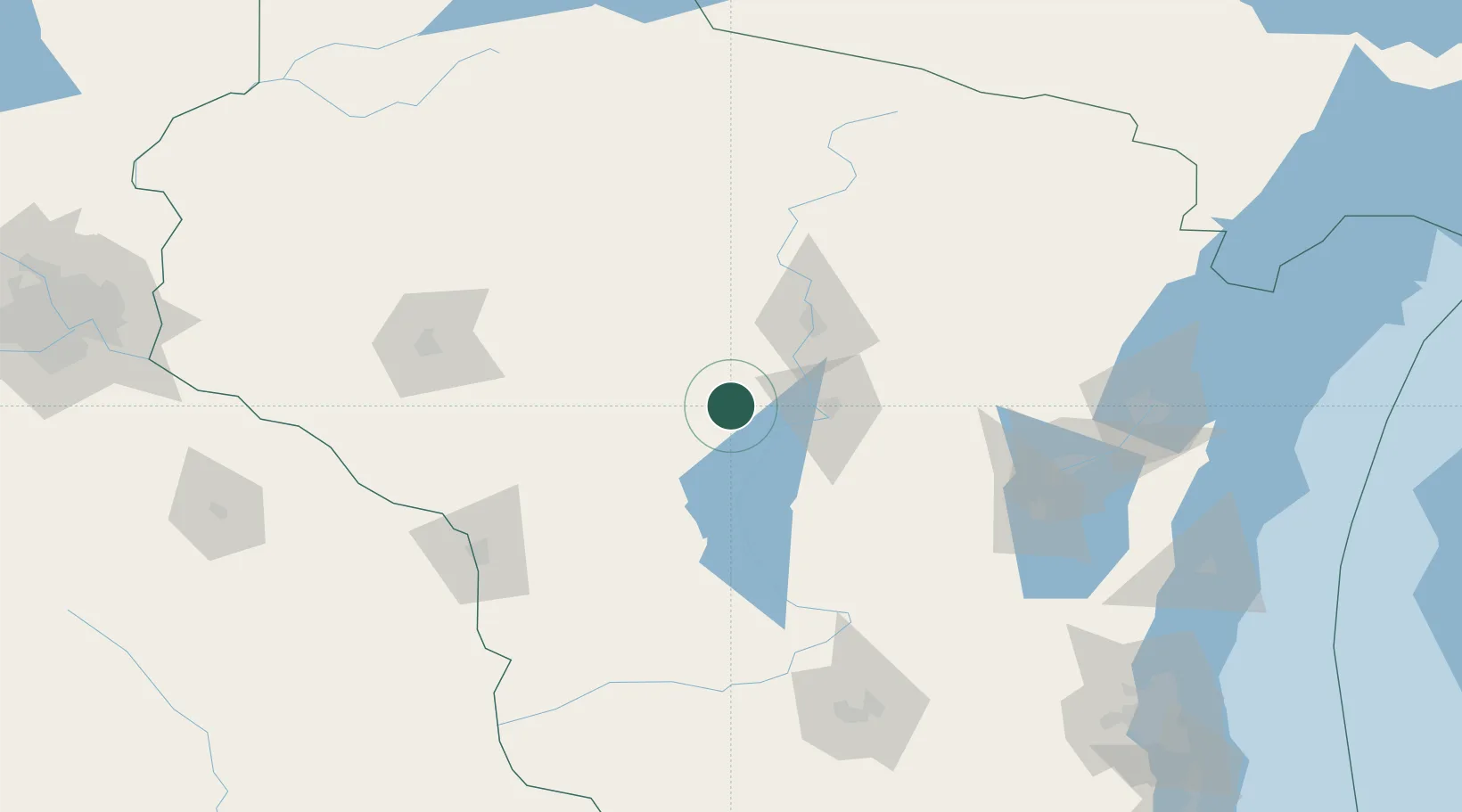
Location
Nearby Logistics Neighbours
Cities
- 1Auburndale10 km
- 2Pittsville13 km
- 3Milladore16 km
- 4Stratford30 km
- 5Granton34 km
Ports
- 1Kaukauna143 km
- 2Green Bay160 km
- 3Oconto179 km
- 4Manitowoc196 km
- 5Two Rivers201 km
Airports
- 1Central Wisconsin Airport40 km
- 2Wausau Downtown Airport54 km
- 3Volk Field68 km
- 4Chippewa Valley Regional Airport121 km
- 5La Crosse Regional Airport122 km
Trade Zones
DatabookThe Record of Consolidated Knowledge
United States beyond logistics?