Transport Functions
Rail
Road
Hub Profile
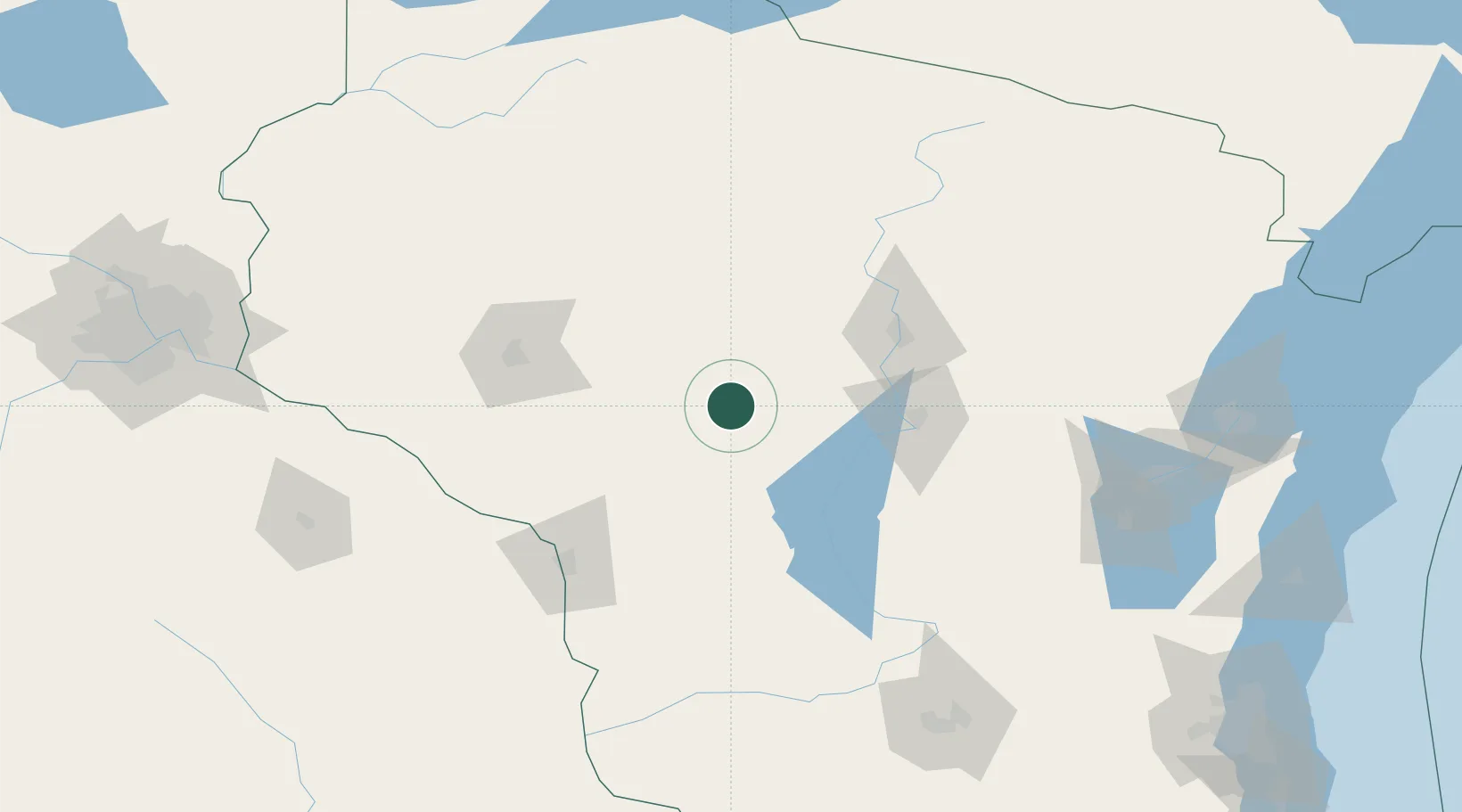
Place type
Populated place
Region
Wisconsin
Population
348
Time zone
America/Chicago
Elevation
341 m
Location
Nearby Logistics Neighbours
Cities
- 1East Rio23 km
- 2Pittsville31 km
- 3Unity32 km
- 4Arpin34 km
- 5Auburndale36 km
Airports
- 1Central Wisconsin Airport65 km
- 2Volk Field73 km
- 3Wausau Downtown Airport75 km
- 4Chippewa Valley Regional Airport88 km
- 5La Crosse Regional Airport101 km
Trade Zones
DatabookThe Record of Consolidated Knowledge
United States beyond logistics?