UN/LOCODE hub · United States
USITV
Pittsville
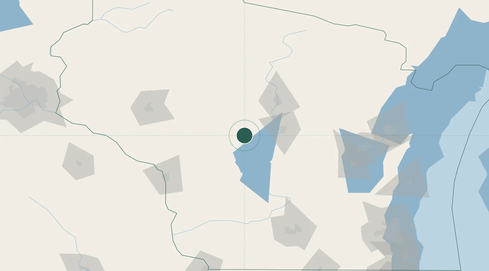
44.4333°, -90.1167°
849
Population
3
Transport functions
Transport Functions
Port
Road
Multimodal
Hub Profile
Place type
Populated place
Region
Wisconsin
Population
849
Time zone
America/Chicago
Elevation
315 m
Location
Nearby Logistics Neighbours
Cities
- 1Arpin13 km
- 2Auburndale22 km
- 3Milladore28 km
- 4Granton31 km
- 5Stratford41 km
Ports
- 1Kaukauna148 km
- 2Green Bay167 km
- 3Oconto188 km
- 4Manitowoc200 km
- 5Two Rivers205 km
Airports
- 1Central Wisconsin Airport52 km
- 2Volk Field56 km
- 3Wausau Downtown Airport67 km
- 4La Crosse Regional Airport110 km
- 5Chippewa Valley Regional Airport118 km
Trade Zones
- 1FTZ No. 167 Brown County145 km
- 2FTZ No. 266 Dane County155 km
- 3FTZ No. 041 Milwaukee222 km
- 4FTZ No. 271 Jo-Daviess and Carroll Counties236 km
- 5FTZ No. 176 Rockford253 km
DatabookThe Record of Consolidated Knowledge
United States beyond logistics?