UN/LOCODE hub · United States
USZJR
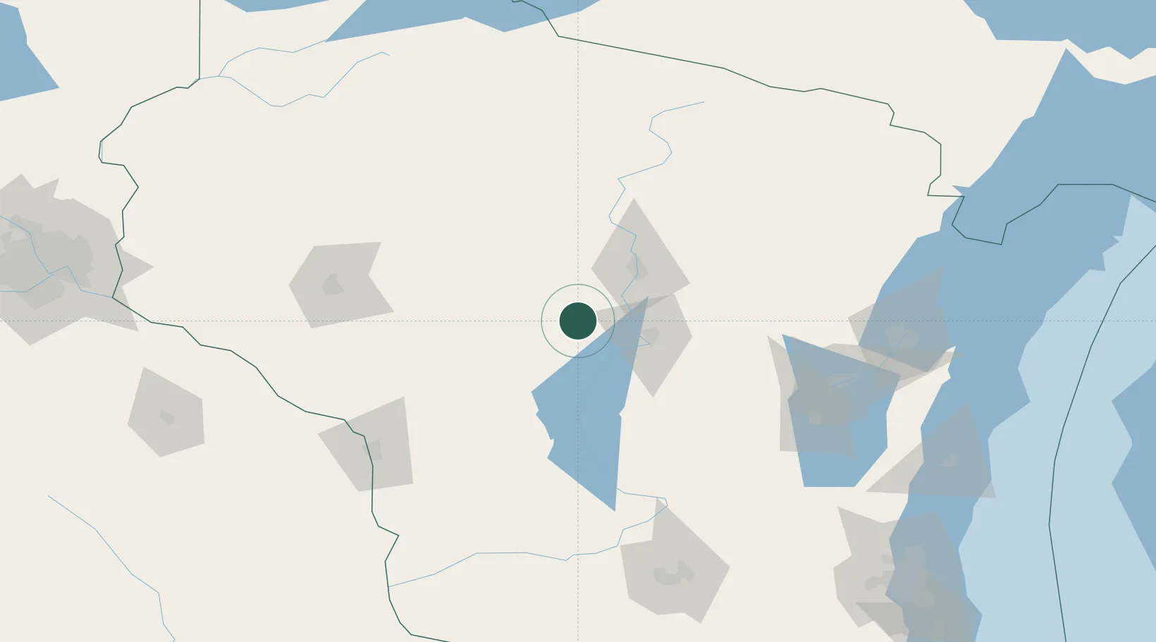
Auburndale
44.6167°, -90.0000°
673
Population
1
Transport functions
Transport Functions
Multimodal
Hub Profile
Place type
Populated place
Region
Wisconsin
Population
673
Time zone
America/Chicago
Elevation
372 m
Location
Nearby Logistics Neighbours
Cities
- 1Arpin10 km
- 2Milladore12 km
- 3Stratford21 km
- 4Pittsville22 km
- 5Mosinee30 km
Airports
- 1Central Wisconsin Airport32 km
- 2Wausau Downtown Airport45 km
- 3Volk Field78 km
- 4Rhinelander Oneida County Airport120 km
- 5Chippewa Valley Regional Airport121 km
Trade Zones
DatabookThe Record of Consolidated Knowledge
United States beyond logistics?