UN/LOCODE hub · United States
USTFO
Stratford
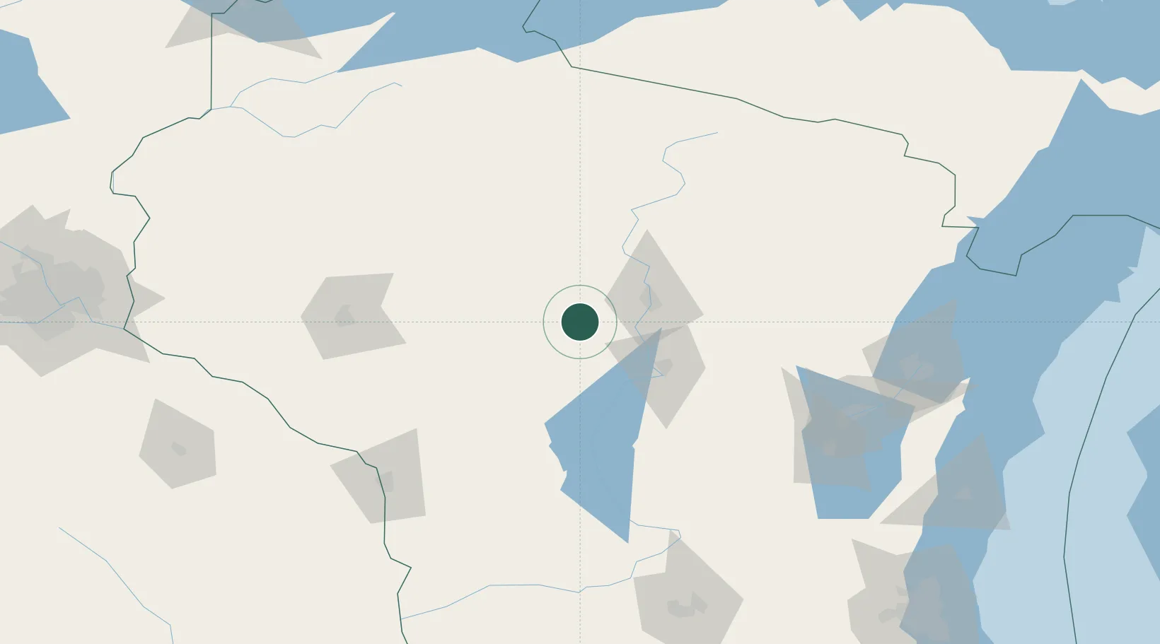
44.8000°, -90.0667°
1,577
Population
2
Transport functions
Transport Functions
Port
Road
Hub Profile
Place type
Populated place
Region
Wisconsin
Population
1,577
Time zone
America/Chicago
Elevation
386 m
Location
Nearby Logistics Neighbours
Cities
- 1Unity19 km
- 2Auburndale21 km
- 3Milladore28 km
- 4Mosinee29 km
- 5Arpin30 km
Airports
- 1Central Wisconsin Airport31 km
- 2Wausau Downtown Airport37 km
- 3Volk Field97 km
- 4Rhinelander Oneida County Airport104 km
- 5Chippewa Valley Regional Airport112 km
Trade Zones
- 1FTZ No. 167 Brown County146 km
- 2FTZ No. 266 Dane County195 km
- 3FTZ No. 041 Milwaukee249 km
- 4FTZ No. 119 Minneapolis-St. Paul250 km
- 5FTZ No. 051 Duluth276 km
DatabookThe Record of Consolidated Knowledge
United States beyond logistics?