UN/LOCODE hub · United States
USTAN
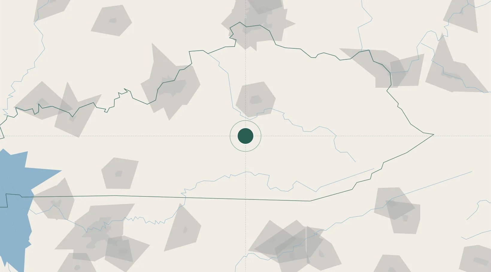
Stanford
37.5167°, -84.6500°
3,675
Population
2
Transport functions
Transport Functions
Rail
Road
Hub Profile
Place type
Provincial seat
Region
Kentucky
Population
3,675
Time zone
America/New_York
Elevation
287 m
Location
Nearby Logistics Neighbours
Cities
- 1Beaver Dam24 km
- 2Liberty34 km
- 3Science Hill39 km
- 4Dunnville47 km
- 5Springfield53 km
Ports
- 1Sandusky468 km
- 2Huron468 km
- 3Port Clinton469 km
- 4Toledo476 km
- 5Vermilion478 km
Airports
Trade Zones
- 1FTZ No. 029 Louisville131 km
- 2FTZ No. 047 Boone County162 km
- 3FTZ No. 148 Knoxville174 km
- 4FTZ No. 046 CIncinnati176 km
- 5FTZ No. 054 Clinton County226 km
DatabookThe Record of Consolidated Knowledge
United States beyond logistics?