Transport Functions
Rail
Road
Hub Profile
Place type
Populated place
Region
Georgia
Population
160
Time zone
America/New_York
Elevation
251 m
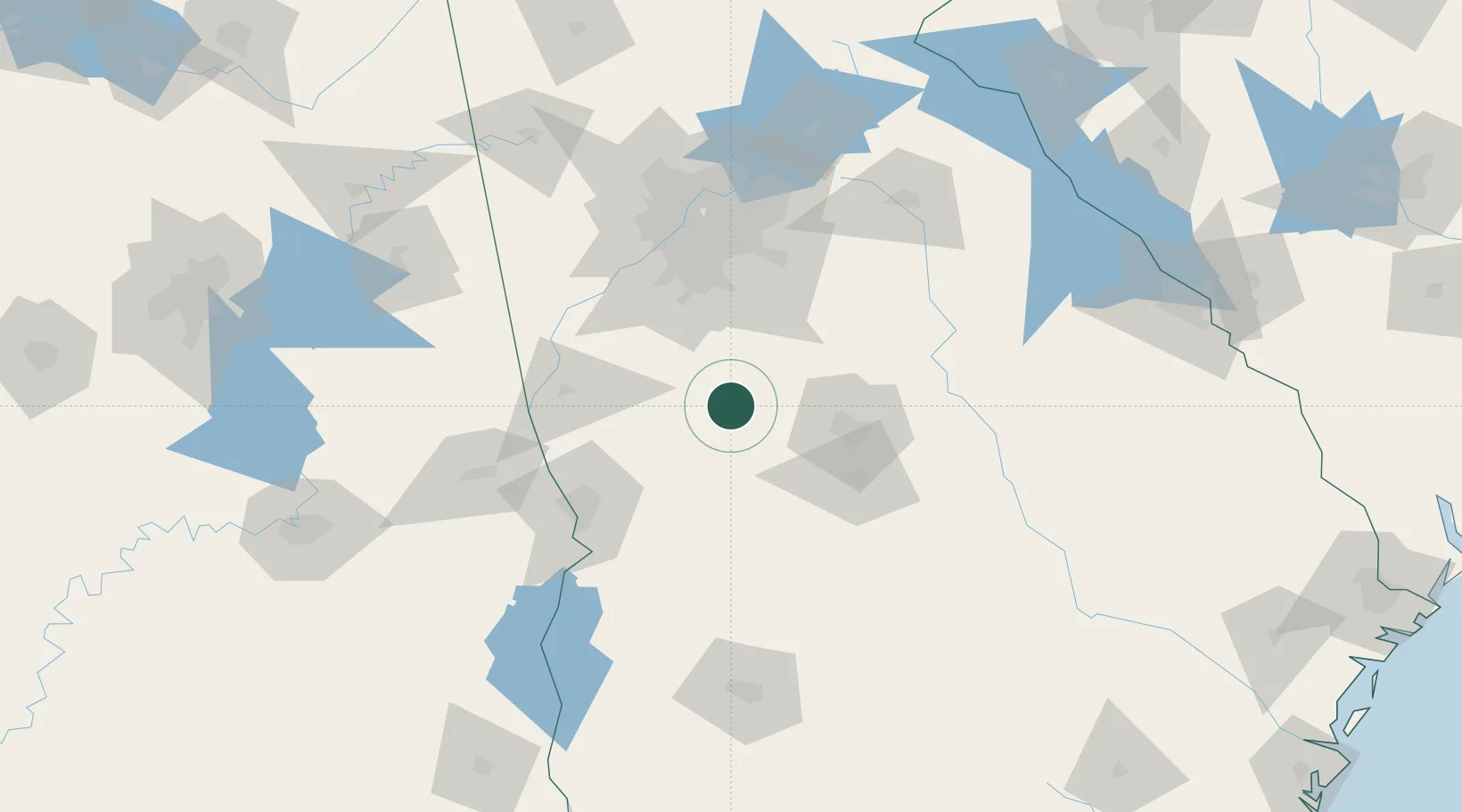
Location
Nearby Logistics Neighbours
Cities
- 1Milner17 km
- 2Williamson25 km
- 3Molena26 km
- 4Forsyth29 km
- 5Woodbury31 km
Ports
- 1Savannah311 km
- 2Darien318 km
- 3Brunswick327 km
- 4Port Royal339 km
- 5Beaufort339 km
Airports
Trade Zones
- 1FTZ No. 026 Atlanta90 km
- 2FTZ No. 222 Montgomery205 km
- 3FTZ No. 233 Dothan224 km
- 4FTZ No. 098 Birmingham248 km
- 5FTZ No. 134 Chattanooga260 km
DatabookThe Record of Consolidated Knowledge
United States beyond logistics?