Transport Functions
Port
Rail
Road
Multimodal
Hub Profile
Place type
Provincial seat
Region
Georgia
Population
4,013
Time zone
America/New_York
Elevation
220 m
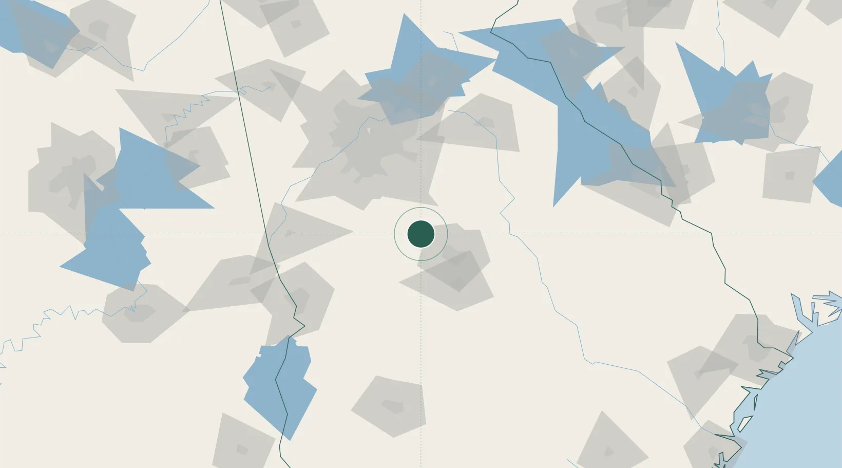
Location
Nearby Logistics Neighbours
Cities
- 1Smarr7 km
- 2Juliette15 km
- 3Milner27 km
- 4The Rock29 km
- 5Jenkinsburg33 km
Ports
- 1Savannah287 km
- 2Darien299 km
- 3Brunswick311 km
- 4Beaufort313 km
- 5Port Royal313 km
Airports
Trade Zones
- 1FTZ No. 026 Atlanta92 km
- 2FTZ No. 222 Montgomery234 km
- 3FTZ No. 233 Dothan245 km
- 4FTZ No. 038 Spartanburg County258 km
- 5FTZ No. 134 Chattanooga265 km
DatabookThe Record of Consolidated Knowledge
United States beyond logistics?