Transport Functions
Rail
Road
Multimodal
Hub Profile
Place type
Populated place
Region
Georgia
Population
909
Time zone
America/New_York
Elevation
252 m
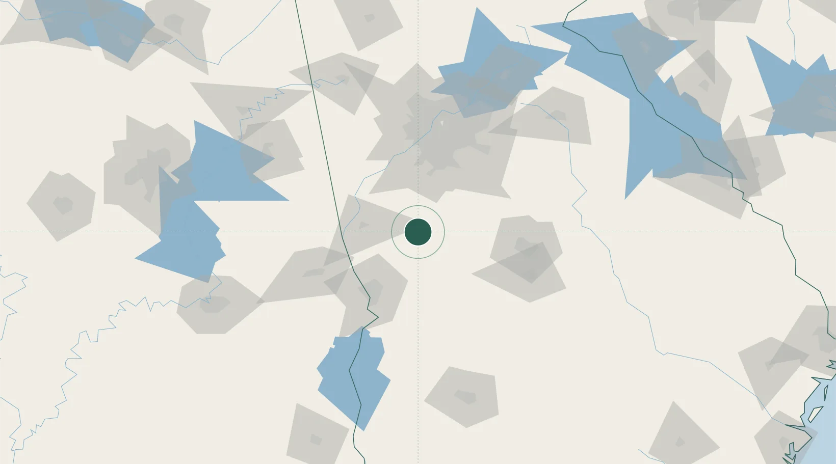
Location
Nearby Logistics Neighbours
Cities
- 1Molena7 km
- 2Alvaton20 km
- 3Williamson29 km
- 4The Rock31 km
- 5Pine Mountain Valley32 km
Ports
- 1Panama City333 km
- 2Savannah342 km
- 3Darien345 km
- 4Carrabelle349 km
- 5Brunswick354 km
Airports
Trade Zones
- 1FTZ No. 026 Atlanta88 km
- 2FTZ No. 222 Montgomery177 km
- 3FTZ No. 233 Dothan211 km
- 4FTZ No. 098 Birmingham217 km
- 5FTZ No. 134 Chattanooga247 km
DatabookThe Record of Consolidated Knowledge
United States beyond logistics?