Transport Functions
Rail
Road
Multimodal
Hub Profile
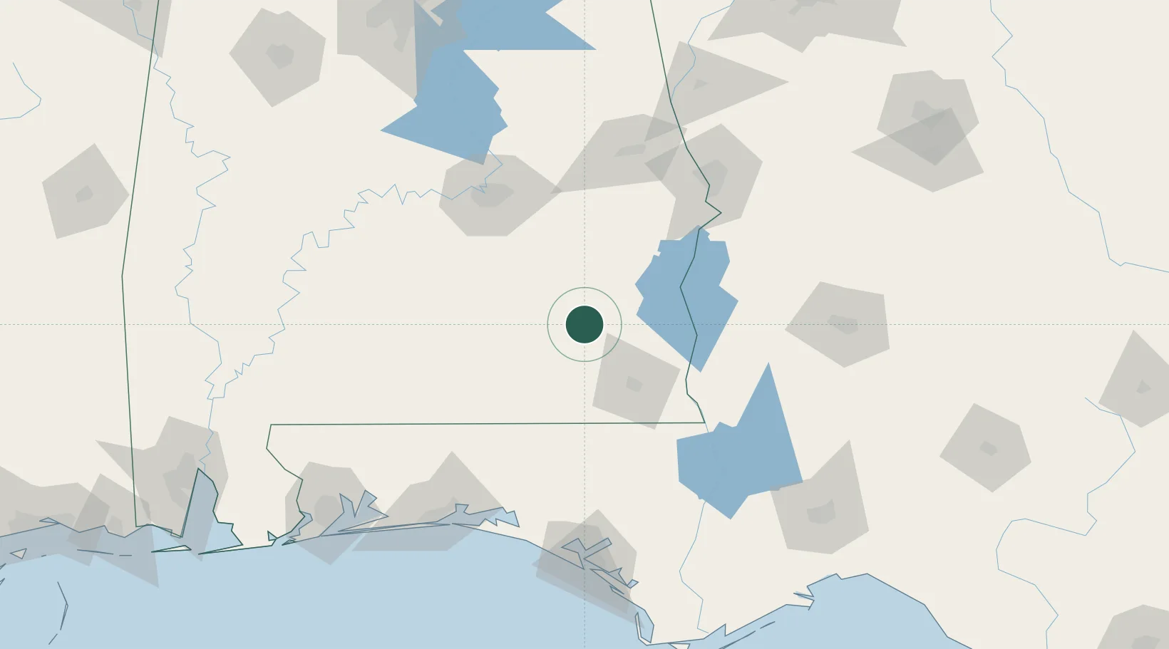
Place type
Populated place
Region
Alabama
Population
746
Time zone
America/Chicago
Elevation
140 m
Location
Nearby Logistics Neighbours
Cities
- 1Brundidge16 km
- 2Fort Rucker30 km
- 3New Brockton31 km
- 4Daleville33 km
- 5Brantley51 km
Ports
- 1Panama City163 km
- 2Pensacola196 km
- 3Port St Joe202 km
- 4Carrabelle219 km
- 5Apalachicola221 km
Airports
Trade Zones
- 1FTZ No. 233 Dothan50 km
- 2FTZ No. 222 Montgomery103 km
- 3FTZ No. 065 Panama City155 km
- 4FTZ No. 249 Pensacola196 km
- 5FTZ No. 098 Birmingham237 km
DatabookThe Record of Consolidated Knowledge
United States beyond logistics?