Medium airport · United States
Mountain Home Air Force BaseKMUO
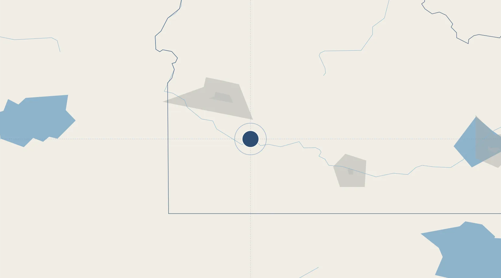
43.0436°, -115.8720°
13,510 ft
Longest runway
1
Runways
2,996 ft
Elevation
Runway & Layout

Radio Frequencies
ATIS
27.35 MHz
TWR
133.85 MHz
GND
120.5 MHz
CLD
127.1 MHz
CLNC DEL
APP
124.8 MHz
DEP
37.12 MHz
PMSV
34.25 MHz
PMSV METRO
POST
38.13 MHz
ACC COMD POST
PTD
138.9 MHz
RDO
122.6 MHz
BOISE RDO
Navaids
LIA VOR Liberator 114.90 MHz
MUO TACAN Mountain Home 114.00 MHz
Runways · 1
| Runway | Dimensions | Surface | True heading | Lit |
|---|---|---|---|---|
| 12/30 | 13,510 × 200ft | Asphalt / concrete | 135° | ✓ |
Airport Specifications
IATA code
MUO
ICAO code
KMUO
Airport class
Medium airport
Scheduled service
No
Runway surface
Asphalt / concrete
Served city
Mountain Home
Location
Nearby Logistics Neighbours
Airports
Cities
- 1Mayfield42 km
- 2Eagle, Ada83 km
- 3Sunnyslope95 km
- 4Parma119 km
- 5Driggs125 km
Ports
- 1The Dalles509 km
- 2Washougal587 km
- 3Camas591 km
- 4Portland607 km
- 5Vancouver613 km
Trade Zones
- 1FTZ No. 280 Ada and Canyon Counties109 km
- 2FTZ No. 274 Butte-Silver Bow395 km
- 3FTZ No. 030 Salt Lake City408 km
- 4FTZ No. 275 Lansing423 km
- 5FTZ No. 126 Sparks505 km
DatabookThe Record of Consolidated Knowledge
United States beyond logistics?