Transport Functions
Rail
Road
Hub Profile
Place type
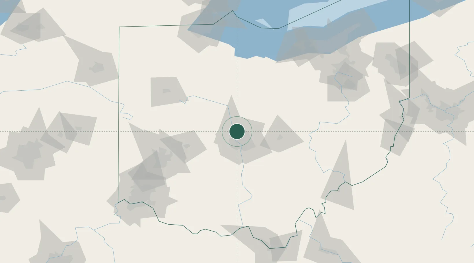
Populated place
Region
Ohio
Population
12,972
Time zone
America/New_York
Elevation
277 m
Location
Nearby Logistics Neighbours
Cities
- 1Lewis Center7 km
- 2Plain City18 km
- 3Rickenbacker International Apt23 km
- 4Urbancrest28 km
- 5West Jefferson, Madison28 km
Ports
- 1Huron146 km
- 2Sandusky148 km
- 3Port Clinton152 km
- 4Vermilion154 km
- 5Lorain164 km
Airports
Trade Zones
- 1FTZ No. 138 Franklin County39 km
- 2FTZ No. 054 Clinton County101 km
- 3FTZ No. 100 Dayton111 km
- 4FTZ No. 151 Findlay113 km
- 5FTZ No. 181 Akron Canton144 km
DatabookThe Record of Consolidated Knowledge
United States beyond logistics?