Medium airport · United States

Zanesville Municipal AirportKZZV
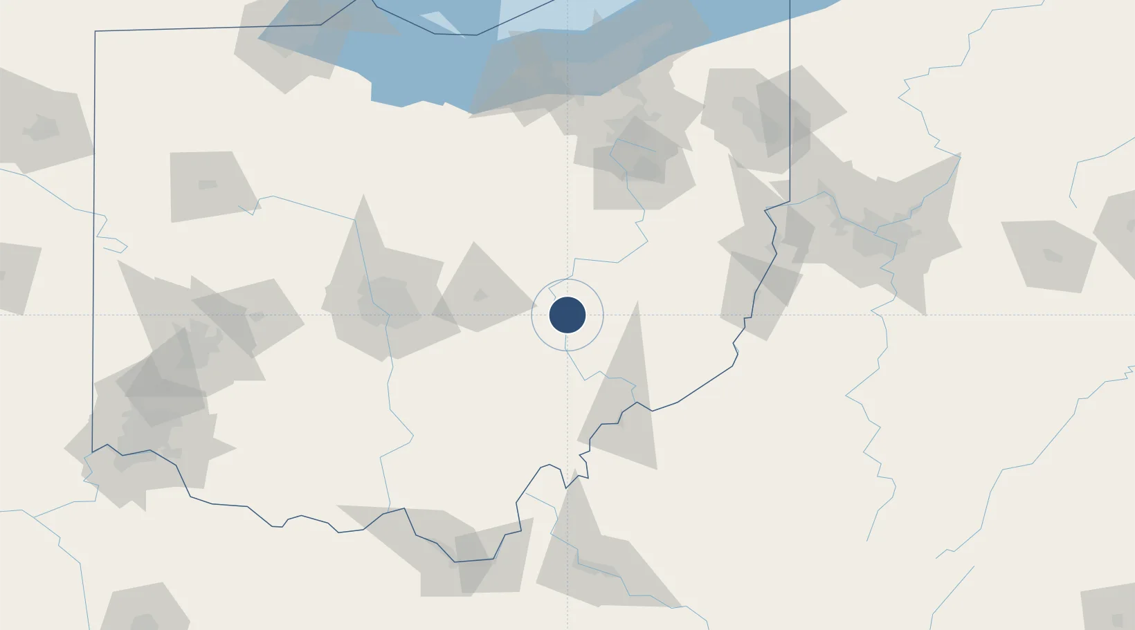
39.9444°, -81.8921°
4,999 ft
Longest runway
2
Runways
900 ft
Elevation

Runway & Layout

Zanesville Municipal Airport runway & taxiway layout
Runway & taxiway layout — OpenStreetMap (ODbL) / OurAirports

Radio Frequencies

ASOS
111.4 MHz
CNTR
124.45 MHz
INDIANAPOLIS CNTR
RDO
122.2 MHz
CLEVELAND RDO
UNIC
123 MHz
CTAF/UNICOM
OurAirports

Navaids

HRA NDB Zanesville 204 kHz
ZZV VOR-DME Zanesville 111.40 MHz
OurAirports

Runways · 2

RunwayDimensions SurfaceTrue headingLit
04/22 4,999 × 150ft Asphalt / concrete 034°
16/34 4,998 × 75ft Asphalt / concrete 152°
OurAirports

Airport Specifications

IATA code
ZZV
OurAirports
ICAO code
KZZV
OurAirports
Airport class
Medium airport
OurAirports
Scheduled service
No
OurAirports
Runway surface
Asphalt / concrete
OurAirports
Served city
Zanesville
OurAirports

Location

Location of KZZV
Natural Earth 10m (public domain) · Ohio · KZZV · 39.94, -81.89GoogleOSMYandex

Nearby Logistics Neighbours

Airports
  1. 1Mid Ohio Valley Regional Airport77 km
  2. 2John Glenn Columbus International Airport85 km
  3. 3Rickenbacker International Airport90 km
  4. 4The Ohio State University Airport - Don Scott Field102 km
  5. 5Wheeling Ohio County Airport109 km
Nearest neighbours — logibook spatial index (haversine) over the source coordinates
Cities
  1. 1Duncan Falls9 km
  2. 2McDonald, Muskingum9 km
  3. 3New Concord14 km
  4. 4Crooksville26 km
  5. 5Conesville27 km
Nearest neighbours — logibook spatial index (haversine) over the source coordinates
Ports
  1. 1Vermilion170 km
  2. 2Lorain171 km
  3. 3Huron171 km
  4. 4Cleveland174 km
  5. 5Sandusky181 km
Nearest neighbours — logibook spatial index (haversine) over the source coordinates
Trade Zones
  1. 1FTZ No. 138 Franklin County90 km
  2. 2FTZ No. 181 Akron Canton113 km
  3. 3FTZ No. 033 Pittsburgh166 km
  4. 4FTZ No. 054 Clinton County172 km
  5. 5FTZ No. 040 Cleveland173 km
Nearest neighbours — logibook spatial index (haversine) over the source coordinates
DatabookThe Record of Consolidated Knowledge
United States beyond logistics?
Browse databook

All Sources

AirportsOurAirports
Public domain
Portsthe NGA World Port Index
Public domain (US gov)
LocationsUN/LOCODE
UN/LOCODE — free
Trade Zonesthe World Bank SEZ database
CC BY 4.0
Trade ZonesOpen Zone Map
CC BY
InfrastructureOpenStreetMap
ODbL 1.0
← United States airports