UN/LOCODE hub · United States
USLEQ
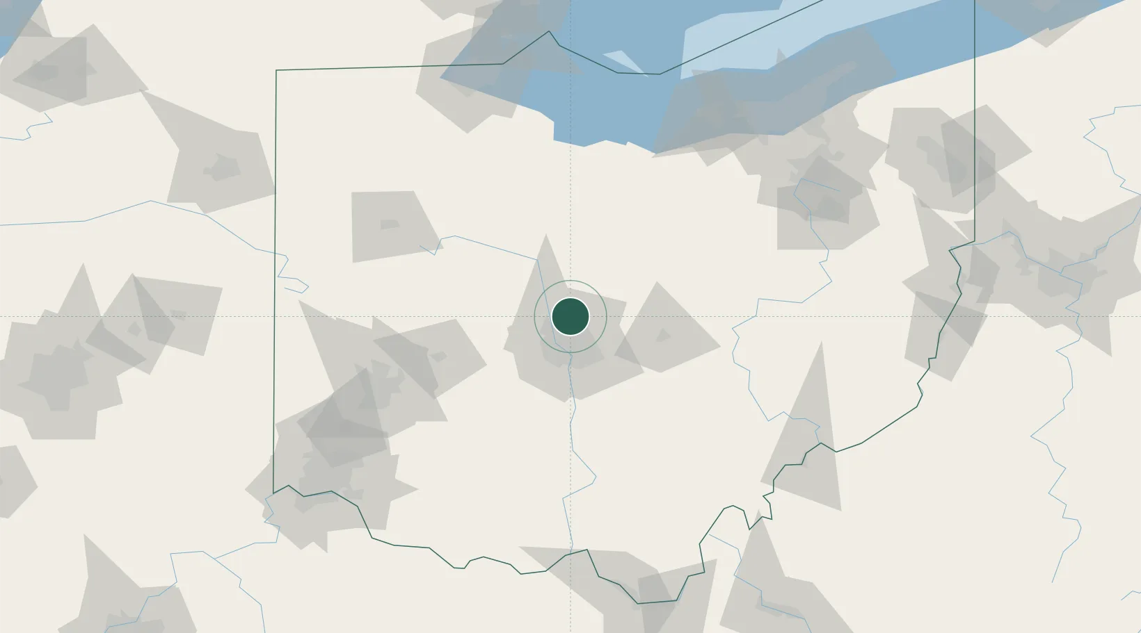
Lewis Center
40.1833°, -83.0000°
11,261
Population
3
Transport functions
Transport Functions
Port
Rail
Road
Hub Profile
Place type
Populated place
Region
Ohio
Population
11,261
Time zone
America/New_York
Elevation
286 m
Location
Nearby Logistics Neighbours
Cities
- 1Powell7 km
- 2Rickenbacker International Apt23 km
- 3Plain City25 km
- 4Johnstown27 km
- 5Blacklick28 km
Ports
- 1Huron141 km
- 2Sandusky143 km
- 3Port Clinton148 km
- 4Vermilion149 km
- 5Lorain158 km
Airports
Trade Zones
- 1FTZ No. 138 Franklin County41 km
- 2FTZ No. 054 Clinton County108 km
- 3FTZ No. 151 Findlay112 km
- 4FTZ No. 100 Dayton118 km
- 5FTZ No. 181 Akron Canton137 km
DatabookThe Record of Consolidated Knowledge
United States beyond logistics?