Transport Functions
Multimodal
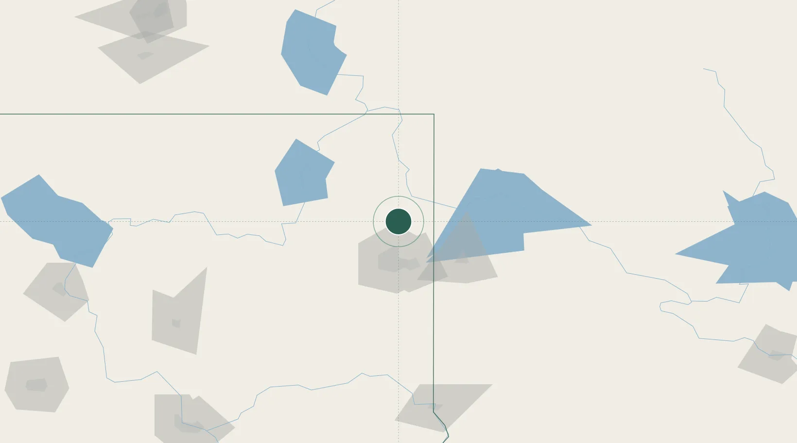
Hub Profile
Place type
Populated place
Region
Washington
Population
7,275
Time zone
America/Los_Angeles
Elevation
581 m
Location
Nearby Logistics Neighbours
Cities
- 1Chewelah36 km
- 2Rathdrum45 km
- 3Greenacres45 km
- 4Airway Heights48 km
- 5Fairchild Air Force Base51 km
Ports
- 1Everett362 km
- 2Mukilteo368 km
- 3Seattle375 km
- 4Point Wells377 km
- 5Mission City381 km
Airports
Trade Zones
- 1FTZ No. 224 Spokane43 km
- 2FTZ No. 242 Boundary County87 km
- 3FTZ No. 203 Moses Lake181 km
- 4FTZ No. 085 Everett362 km
- 5FTZ No. 187 Toole County379 km
DatabookThe Record of Consolidated Knowledge
United States beyond logistics?