Transport Functions
Road
Multimodal
Hub Profile
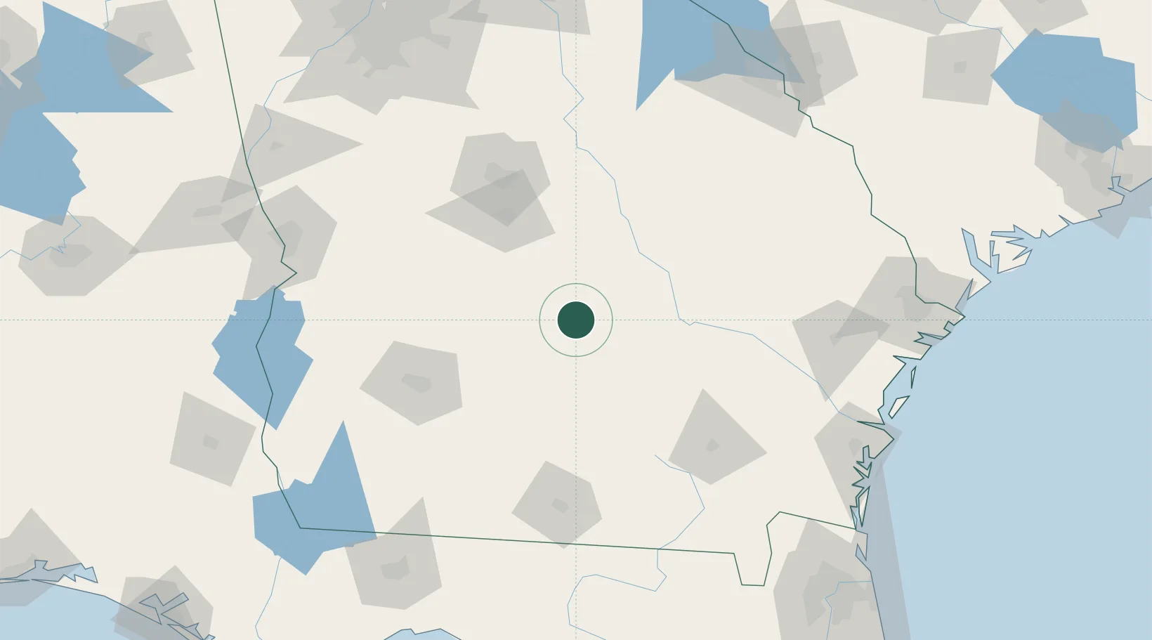
Place type
Populated place
Region
Georgia
Population
377
Time zone
America/New_York
Elevation
74 m
Location
Nearby Logistics Neighbours
Ports
- 1Darien181 km
- 2Brunswick186 km
- 3Savannah200 km
- 4Fernandina Beach219 km
- 5Jacksonville237 km
Airports
- 1Robins Air Force Base82 km
- 2Middle Georgia Regional Airport90 km
- 3Southwest Georgia Regional Airport107 km
- 4Moody Air Force Base113 km
- 5Valdosta Regional Airport134 km
Trade Zones
- 1FTZ No. 144 Brunswick186 km
- 2FTZ No. 104 Savannah199 km
- 3FTZ No. 064 Jacksonville217 km
- 4FTZ No. 026 Atlanta227 km
- 5FTZ No. 233 Dothan227 km
DatabookThe Record of Consolidated Knowledge
United States beyond logistics?