Transport Functions
Rail
Road
Multimodal
Hub Profile
Place type
Populated place
Region
Georgia
Population
674
Time zone
America/New_York
Elevation
119 m
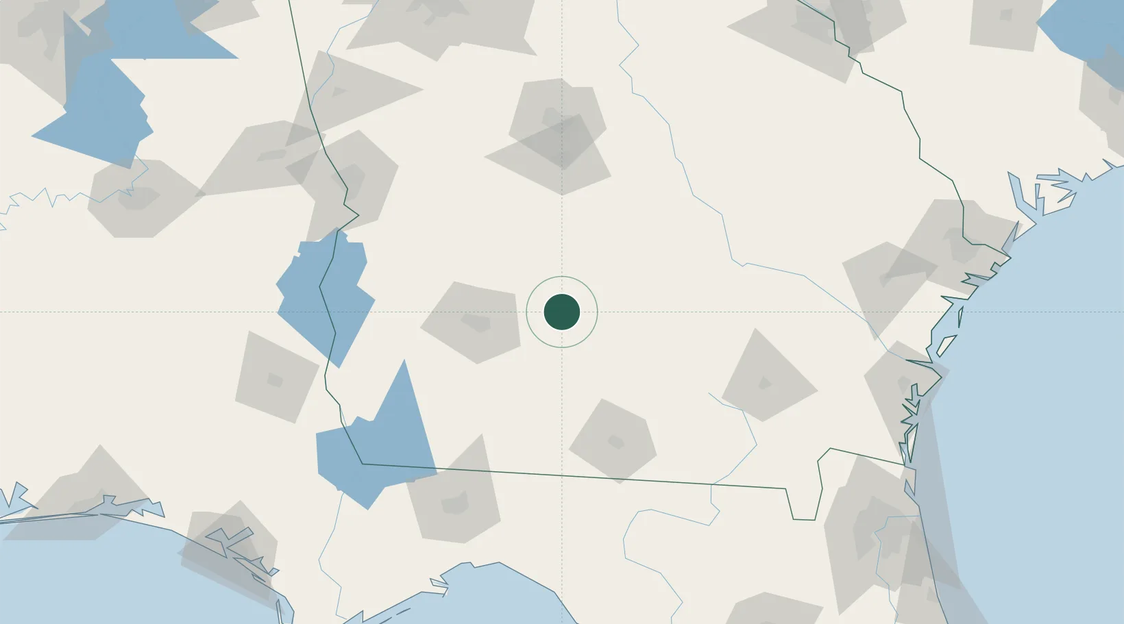
Location
Nearby Logistics Neighbours
Cities
- 1Sumner19 km
- 2Rebecca21 km
- 3Anderson City39 km
- 4Norman Park45 km
- 5Doerun47 km
Ports
- 1Brunswick210 km
- 2Darien211 km
- 3Carrabelle225 km
- 4Fernandina Beach233 km
- 5Jacksonville241 km
Airports
- 1Southwest Georgia Regional Airport55 km
- 2Moody Air Force Base88 km
- 3Valdosta Regional Airport104 km
- 4Robins Air Force Base108 km
- 5Middle Georgia Regional Airport114 km
Trade Zones
- 1FTZ No. 233 Dothan177 km
- 2FTZ No. 144 Brunswick210 km
- 3FTZ No. 064 Jacksonville217 km
- 4FTZ No. 026 Atlanta244 km
- 5FTZ No. 104 Savannah244 km
DatabookThe Record of Consolidated Knowledge
United States beyond logistics?