Transport Functions
Rail
Road
Multimodal
Hub Profile
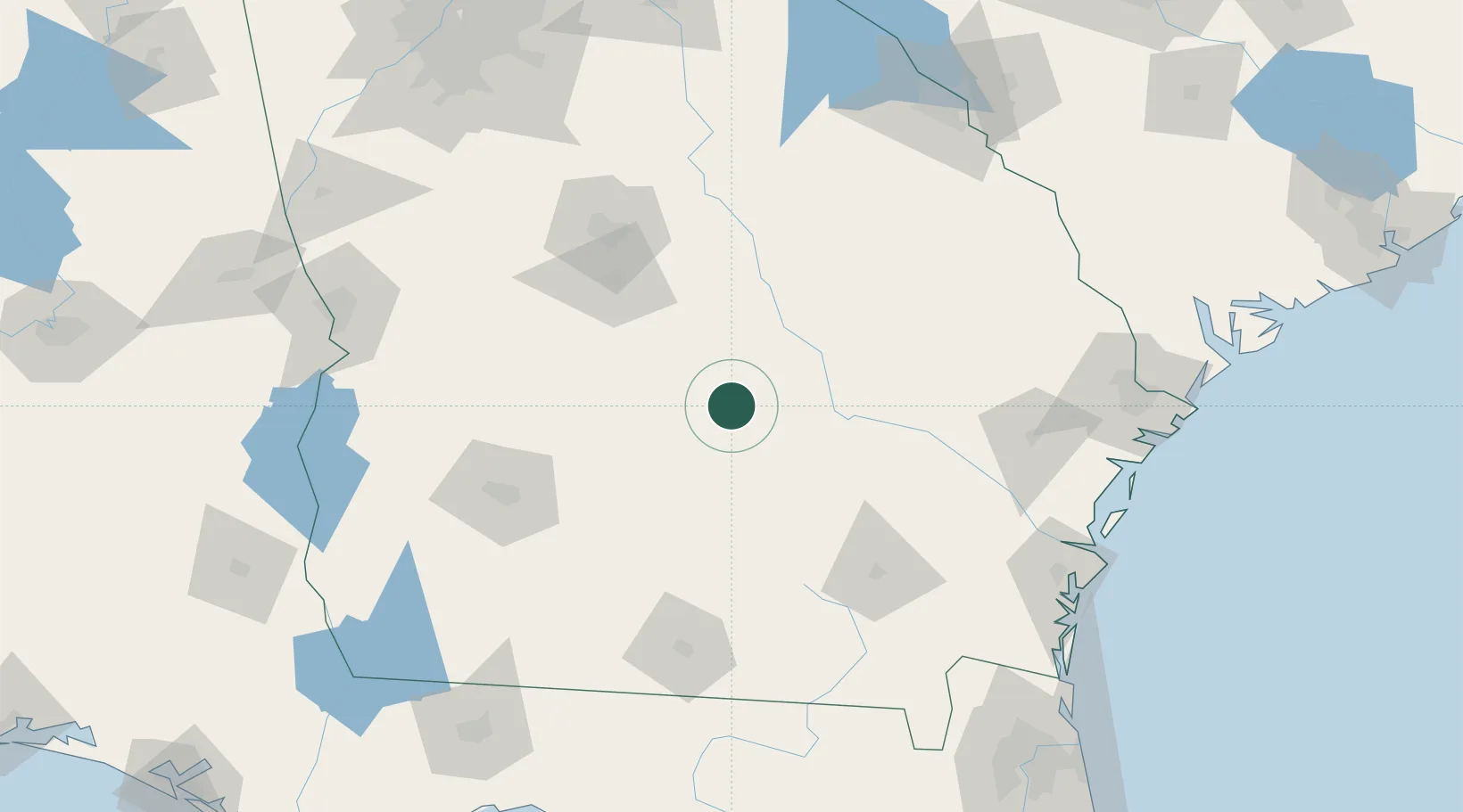
Place type
Populated place
Region
Georgia
Population
766
Time zone
America/New_York
Elevation
89 m
Location
Nearby Logistics Neighbours
Cities
- 1Rhine13 km
- 2Rebecca46 km
- 3Hazlehurst49 km
- 4Ambrose49 km
- 5Cochran49 km
Ports
- 1Darien171 km
- 2Brunswick177 km
- 3Savannah187 km
- 4Fernandina Beach212 km
- 5Port Royal228 km
Airports
- 1Robins Air Force Base85 km
- 2Middle Georgia Regional Airport93 km
- 3Moody Air Force Base117 km
- 4Southwest Georgia Regional Airport120 km
- 5Valdosta Regional Airport139 km
Trade Zones
- 1FTZ No. 144 Brunswick177 km
- 2FTZ No. 104 Savannah186 km
- 3FTZ No. 064 Jacksonville214 km
- 4FTZ No. 026 Atlanta230 km
- 5FTZ No. 233 Dothan240 km
DatabookThe Record of Consolidated Knowledge
United States beyond logistics?