Transport Functions
Road
Multimodal
Hub Profile
Place type
Provincial seat
Region
Georgia
Population
4,363
Time zone
America/New_York
Elevation
104 m
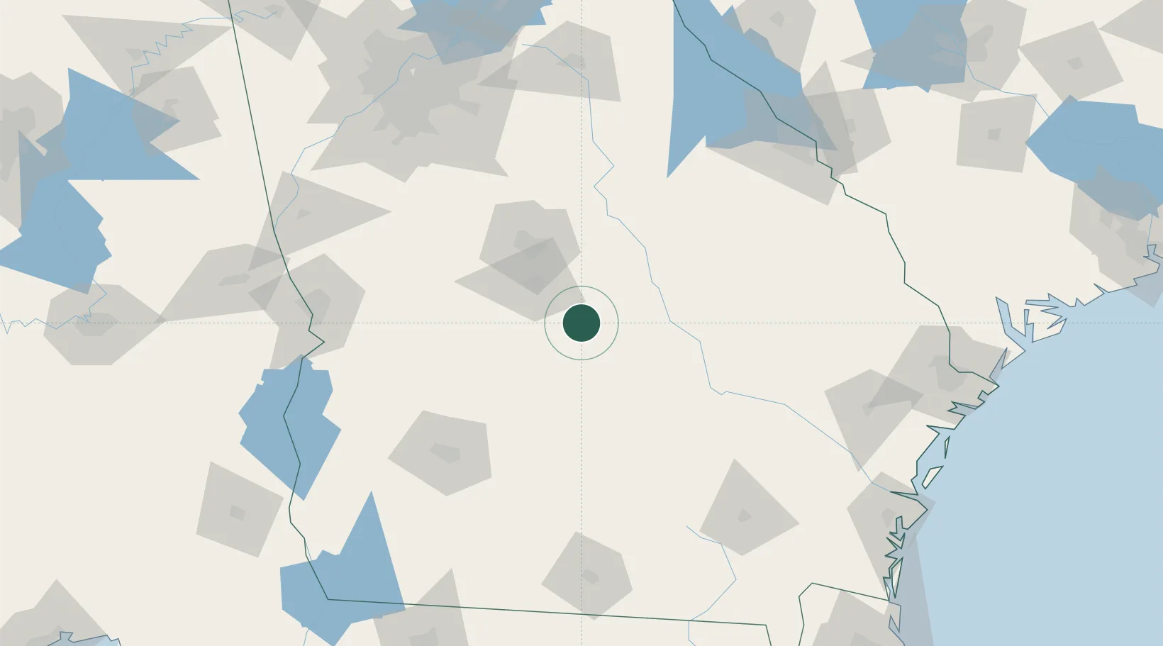
Location
Nearby Logistics Neighbours
Cities
- 1Clinchfield27 km
- 2Rhine47 km
- 3Milan49 km
- 4Vienna53 km
- 5Bonaire53 km
Ports
- 1Darien213 km
- 2Savannah216 km
- 3Brunswick222 km
- 4Port Royal250 km
- 5Beaufort252 km
Airports
- 1Robins Air Force Base37 km
- 2Middle Georgia Regional Airport44 km
- 3Southwest Georgia Regional Airport124 km
- 4Columbus Airport150 km
- 5Lawson Army Air Field154 km
Trade Zones
- 1FTZ No. 026 Atlanta181 km
- 2FTZ No. 104 Savannah215 km
- 3FTZ No. 144 Brunswick222 km
- 4FTZ No. 233 Dothan235 km
- 5FTZ No. 021 Dorchester County258 km
DatabookThe Record of Consolidated Knowledge
United States beyond logistics?