Transport Functions
Road
Multimodal
Hub Profile
Place type
Populated place
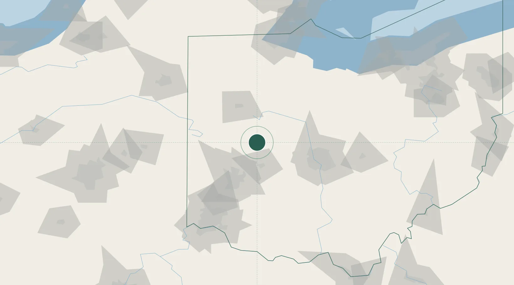
Region
Ohio
Time zone
America/New_York
Elevation
321 m
Location
Nearby Logistics Neighbours
Cities
- 1Fletcher24 km
- 2Middleburg, Logan26 km
- 3Northwood, Logan28 km
- 4Anna29 km
- 5Horton35 km
Ports
- 1Port Clinton161 km
- 2Toledo165 km
- 3Sandusky165 km
- 4Huron169 km
- 5Put In Bay179 km
Airports
Trade Zones
- 1FTZ No. 100 Dayton62 km
- 2FTZ No. 151 Findlay89 km
- 3FTZ No. 054 Clinton County92 km
- 4FTZ No. 138 Franklin County93 km
- 5FTZ No. 046 CIncinnati139 km
DatabookThe Record of Consolidated Knowledge
United States beyond logistics?