Transport Functions
Rail
Road
Multimodal
Hub Profile
Place type
Populated place
Region
Ohio
Population
1,545
Time zone
America/New_York
Elevation
315 m
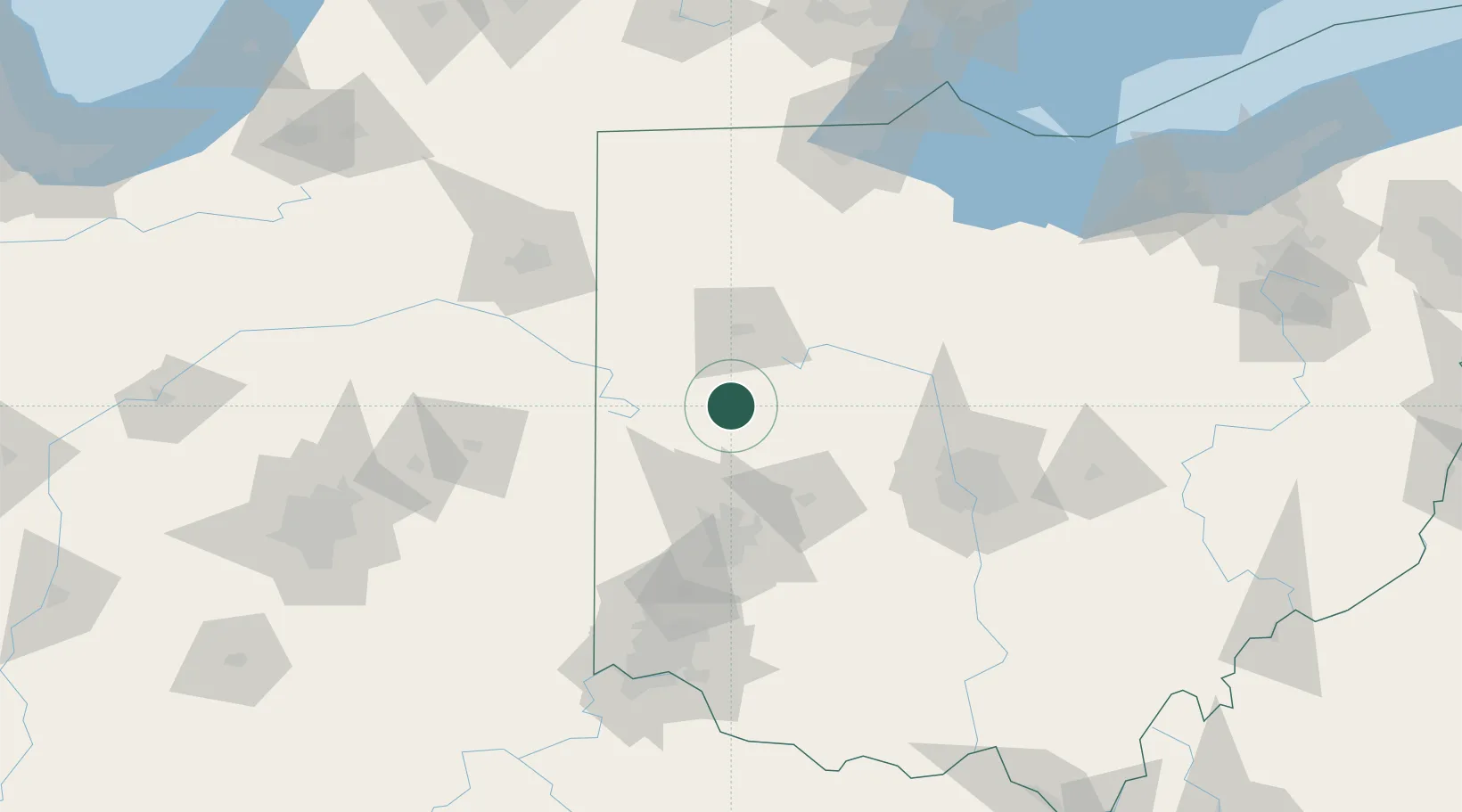
Location
Nearby Logistics Neighbours
Cities
- 1Kettlersville9 km
- 2Russia26 km
- 3Fletcher26 km
- 4Springhills29 km
- 5Versailles33 km
Ports
- 1Toledo158 km
- 2Port Clinton163 km
- 3Sandusky170 km
- 4Huron177 km
- 5Put In Bay181 km
Airports
Trade Zones
- 1FTZ No. 100 Dayton66 km
- 2FTZ No. 151 Findlay83 km
- 3FTZ No. 054 Clinton County111 km
- 4FTZ No. 138 Franklin County122 km
- 5FTZ No. 182 Fort Wayne123 km
DatabookThe Record of Consolidated Knowledge
United States beyond logistics?