UN/LOCODE hub · United States
USDBU

Middleburg, Logan

40.2833°, -83.5667°
2
Transport functions

Transport Functions

Road
Multimodal
UN/LOCODE

Hub Profile

Region
OH
GeoNames

Location

Location of USDBU
Natural Earth 10m (public domain) · OH · USDBU · 40.28, -83.57GoogleOSMYandex

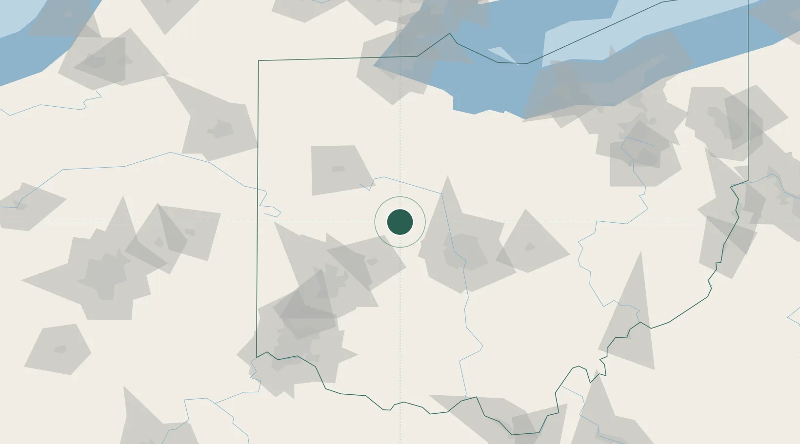
Nearby Logistics Neighbours

Cities
  1. 1Raymond10 km
  2. 2Horton19 km
  3. 3Haynesville23 km
  4. 4Springhills26 km
  5. 5Northwood, Logan26 km
Nearest neighbours — logibook spatial index (haversine) over the source coordinates
Ports
  1. 1Port Clinton147 km
  2. 2Sandusky148 km
  3. 3Huron151 km
  4. 4Toledo158 km
  5. 5Vermilion163 km
Nearest neighbours — logibook spatial index (haversine) over the source coordinates
Trade Zones
  1. 1FTZ No. 138 Franklin County75 km
  2. 2FTZ No. 100 Dayton82 km
  3. 3FTZ No. 151 Findlay85 km
  4. 4FTZ No. 054 Clinton County97 km
  5. 5FTZ No. 008 Toledo152 km
Nearest neighbours — logibook spatial index (haversine) over the source coordinates
DatabookThe Record of Consolidated Knowledge
United States beyond logistics?
Browse databook

All Sources

LocationsUN/LOCODE
UN/LOCODE — free
Portsthe NGA World Port Index
Public domain (US gov)
AirportsOurAirports
Public domain
Trade Zonesthe World Bank SEZ database
CC BY 4.0
Trade ZonesOpen Zone Map
CC BY
← United States locations