Transport Functions
Road
Multimodal
Hub Profile
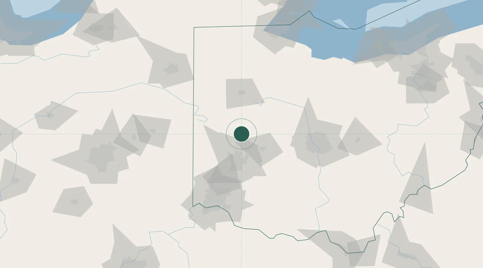
Place type
Populated place
Region
Ohio
Population
480
Time zone
America/New_York
Elevation
318 m
Location
Nearby Logistics Neighbours
Cities
- 1Covington20 km
- 2Springhills24 km
- 3New Carlisle26 km
- 4Russia26 km
- 5Anna26 km
Ports
- 1Toledo181 km
- 2Port Clinton182 km
- 3Sandusky187 km
- 4Huron192 km
- 5Put In Bay199 km
Airports
Trade Zones
- 1FTZ No. 100 Dayton42 km
- 2FTZ No. 054 Clinton County85 km
- 3FTZ No. 151 Findlay105 km
- 4FTZ No. 138 Franklin County107 km
- 5FTZ No. 046 CIncinnati122 km
DatabookThe Record of Consolidated Knowledge
United States beyond logistics?