Transport Functions
Rail
Road
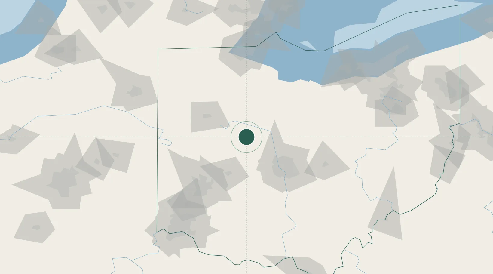
Hub Profile
Place type
Populated place
Region
Ohio
Time zone
America/New_York
Elevation
326 m
Location
Nearby Logistics Neighbours
Cities
- 1Haynesville10 km
- 2Raymond15 km
- 3Northwood, Logan16 km
- 4Middleburg, Logan19 km
- 5Richwood22 km
Ports
- 1Port Clinton129 km
- 2Sandusky131 km
- 3Huron135 km
- 4Toledo139 km
- 5Put In Bay147 km
Airports
Trade Zones
- 1FTZ No. 151 Findlay67 km
- 2FTZ No. 138 Franklin County88 km
- 3FTZ No. 100 Dayton96 km
- 4FTZ No. 054 Clinton County115 km
- 5FTZ No. 008 Toledo134 km
DatabookThe Record of Consolidated Knowledge
United States beyond logistics?