Transport Functions
Road
Multimodal
Hub Profile
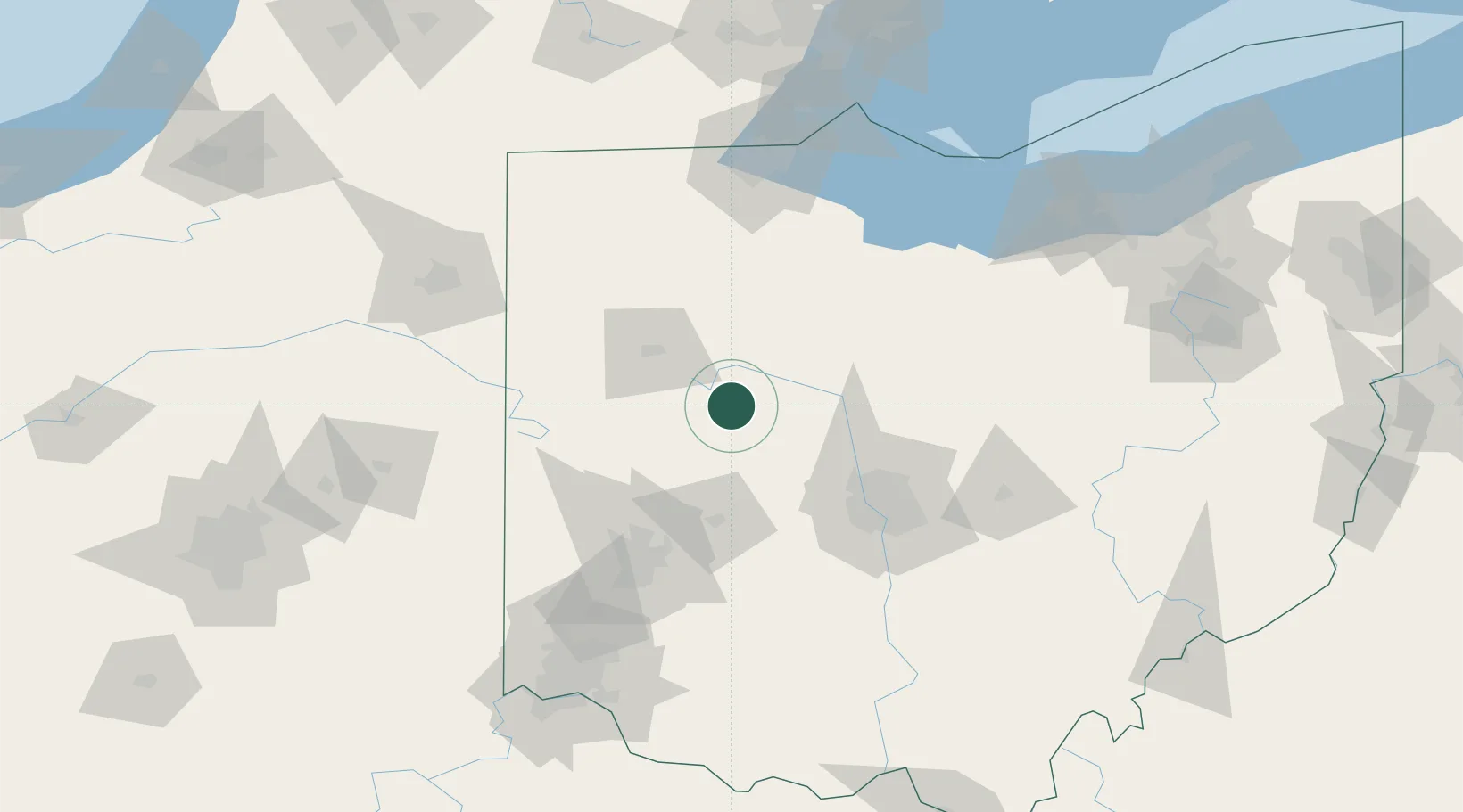
Region
OH
Location
Nearby Logistics Neighbours
Cities
- 1Horton16 km
- 2Haynesville25 km
- 3Middleburg, Logan26 km
- 4Raymond28 km
- 5Springhills28 km
Ports
- 1Port Clinton133 km
- 2Toledo137 km
- 3Sandusky137 km
- 4Huron142 km
- 5Put In Bay151 km
Airports
Trade Zones
- 1FTZ No. 151 Findlay62 km
- 2FTZ No. 100 Dayton90 km
- 3FTZ No. 138 Franklin County100 km
- 4FTZ No. 054 Clinton County117 km
- 5FTZ No. 008 Toledo131 km
DatabookThe Record of Consolidated Knowledge
United States beyond logistics?