Transport Functions
Port
Rail
Road
Multimodal
Hub Profile
Place type
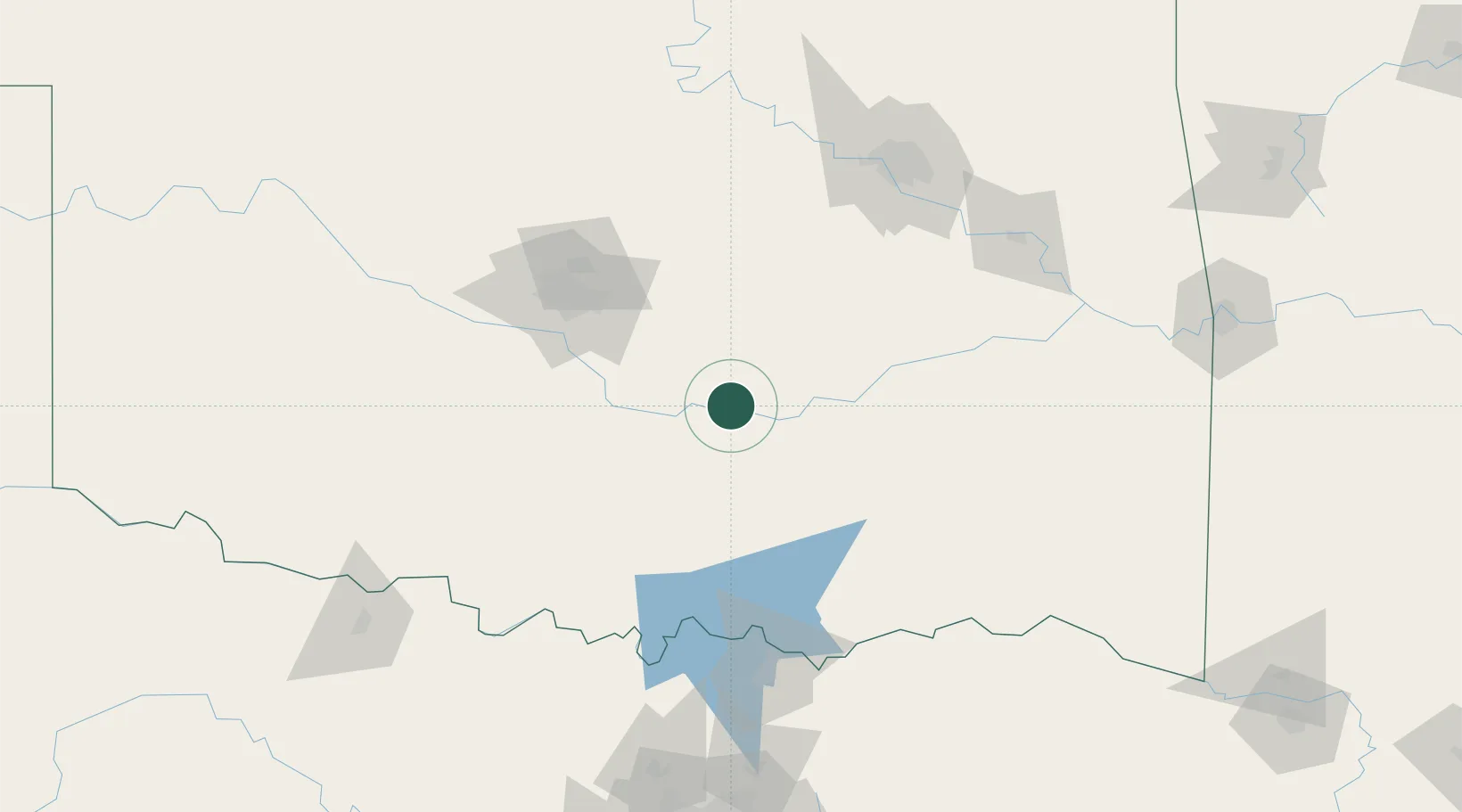
Populated place
Region
Oklahoma
Population
1,290
Time zone
America/Chicago
Elevation
294 m
Location
Nearby Logistics Neighbours
Cities
- 1Maxwell12 km
- 2Saint Louis14 km
- 3Wanette24 km
- 4Tecumseh36 km
- 5Roff40 km
Ports
- 1Deer Park595 km
- 2Houston596 km
- 3Beaumont598 km
- 4Port Of Memphis600 km
- 5Pasadena601 km
Airports
Trade Zones
- 1FTZ No. 106 Oklahoma City90 km
- 2FTZ No. 227 Durant112 km
- 3FTZ No. 164 Muskogee146 km
- 4FTZ No. 053 Rogers County173 km
- 5FTZ No. 196 Fort Worth253 km
DatabookThe Record of Consolidated Knowledge
United States beyond logistics?