Transport Functions
Rail
Road
Multimodal
Hub Profile
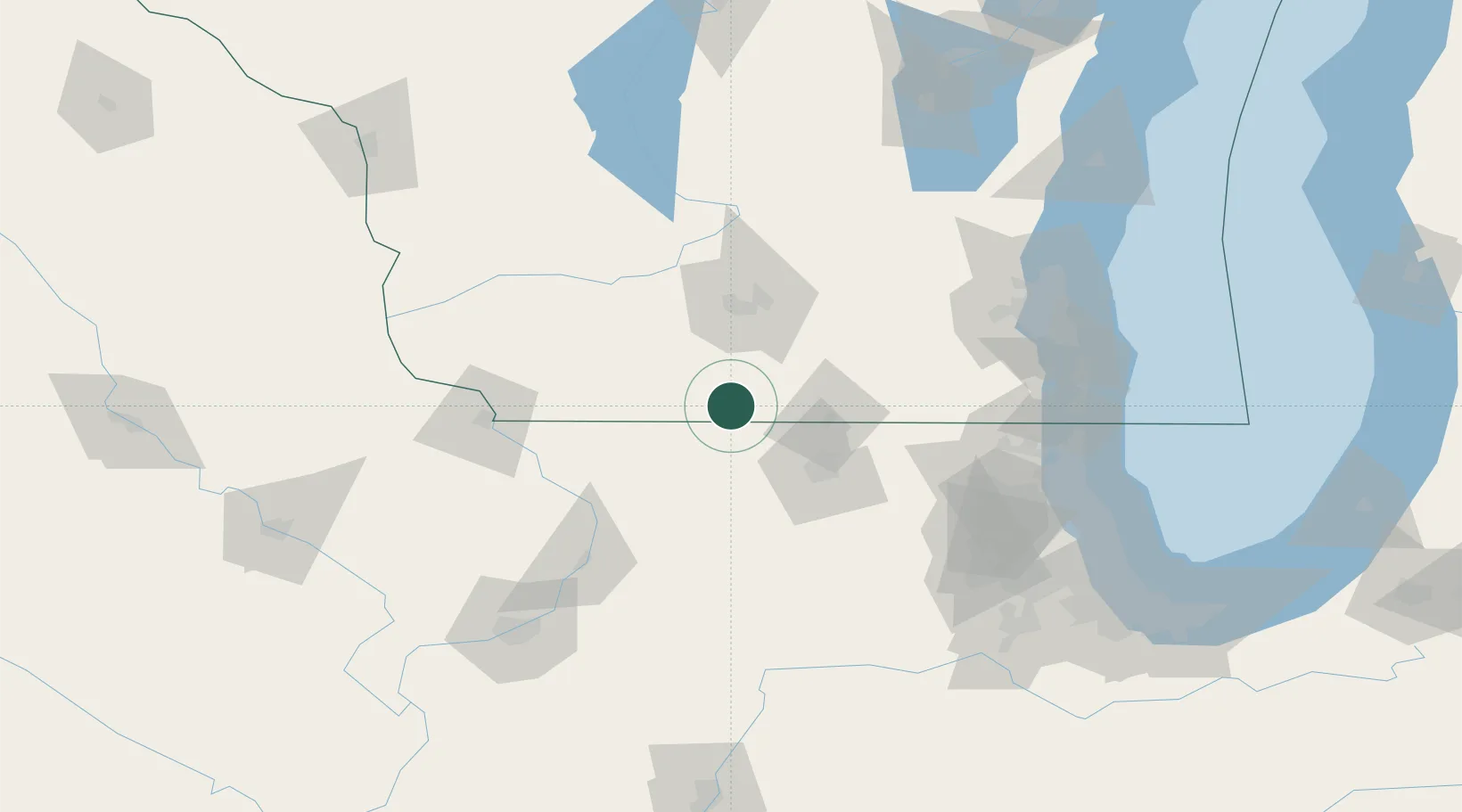
Place type
Populated place
Region
Wisconsin
Population
357
Time zone
America/Chicago
Elevation
258 m
Location
Nearby Logistics Neighbours
Cities
- 1Brodhead9 km
- 2Orangeville18 km
- 3Monticello20 km
- 4Rock City21 km
- 5Dakota22 km
Ports
- 1Kenosha138 km
- 2Waukegan140 km
- 3Great Lakes140 km
- 4Milwaukee141 km
- 5Racine141 km
Airports
- 1Chicago Rockford International Airport54 km
- 2Dane County Regional Truax Field63 km
- 3Dubuque Regional Airport101 km
- 4Dupage Airport128 km
- 5Kenosha Regional Airport129 km
Trade Zones
DatabookThe Record of Consolidated Knowledge
United States beyond logistics?