UN/LOCODE hub · United States
USQMI
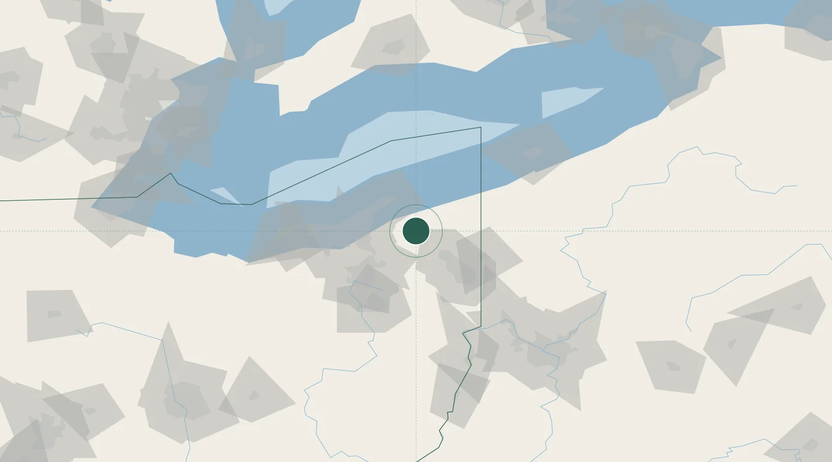
Middlefield
41.4500°, -81.0667°
2,693
Population
3
Transport functions
Transport Functions
Rail
Road
Multimodal
Hub Profile
Place type
Populated place
Region
Ohio
Population
2,693
Time zone
America/New_York
Elevation
343 m
Location
Nearby Logistics Neighbours
Cities
- 1Mesopotamia10 km
- 2Mantua22 km
- 3Novelty23 km
- 4Thompson26 km
- 5Concord, Lake27 km
Airports
Trade Zones
- 1FTZ No. 040 Cleveland65 km
- 2FTZ No. 181 Akron Canton79 km
- 3FTZ No. 247 Erie109 km
- 4FTZ No. 033 Pittsburgh142 km
- 5Windsor - Essex Foreign Trade Zone189 km
DatabookThe Record of Consolidated Knowledge
United States beyond logistics?