Transport Functions
Port
Road
Airport
Multimodal
Hub Profile
Place type
Populated place
Region
Wisconsin
Population
4,030
Time zone
America/Chicago
Elevation
355 m
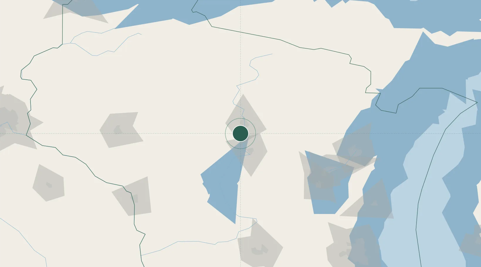
Location
Nearby Logistics Neighbours
Cities
- 1Milladore24 km
- 2Ringle25 km
- 3Stratford29 km
- 4Auburndale30 km
- 5Custer37 km
Airports
- 1Central Wisconsin Airport2 km
- 2Wausau Downtown Airport17 km
- 3Rhinelander Oneida County Airport96 km
- 4Volk Field104 km
- 5Appleton International Airport110 km
Trade Zones
DatabookThe Record of Consolidated Knowledge
United States beyond logistics?