UN/LOCODE hub · United States
USQML
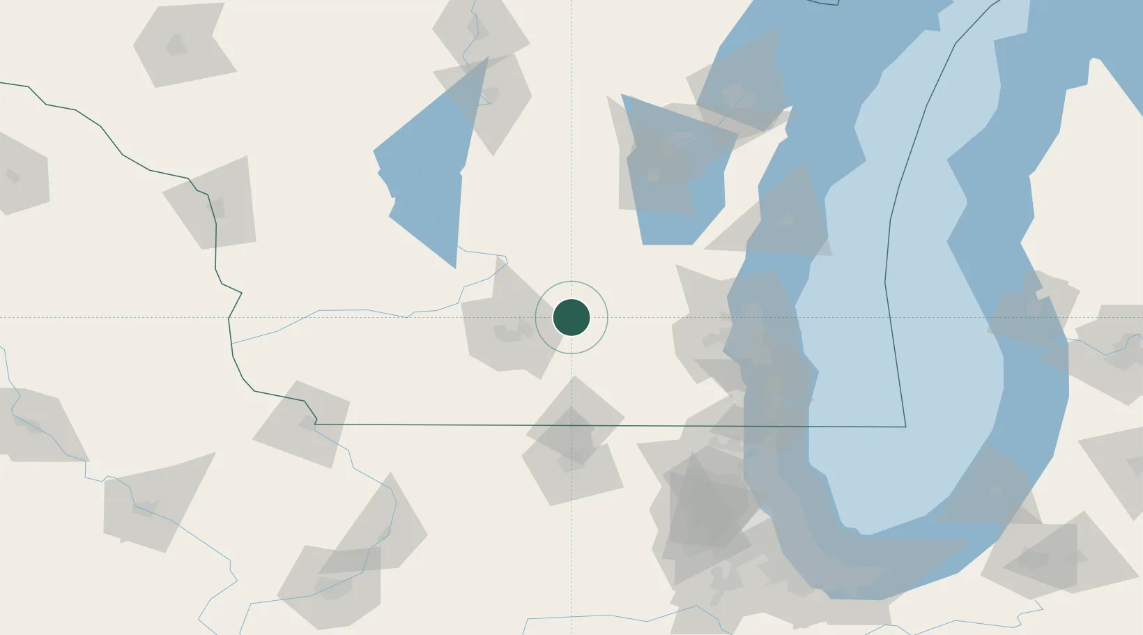
Marshall
43.1667°, -89.0667°
3,927
Population
2
Transport functions
Transport Functions
Rail
Road
Hub Profile
Place type
Populated place
Region
Wisconsin
Population
3,927
Time zone
America/Chicago
Elevation
268 m
Location
Nearby Logistics Neighbours
Cities
- 1Cottage Grove16 km
- 2Canyon19 km
- 3Cambridge19 km
- 4Reeseville24 km
- 5Maple Bluff25 km
Ports
- 1Milwaukee97 km
- 2Port Washington100 km
- 3Racine115 km
- 4Kenosha121 km
- 5Sheboygan128 km
Airports
Trade Zones
- 1FTZ No. 266 Dane County53 km
- 2FTZ No. 041 Milwaukee79 km
- 3FTZ No. 176 Rockford102 km
- 4FTZ No. 292 Lake County134 km
- 5FTZ No. 271 Jo-Daviess and Carroll Counties135 km
DatabookThe Record of Consolidated Knowledge
United States beyond logistics?