UN/LOCODE hub · United States
USOYN
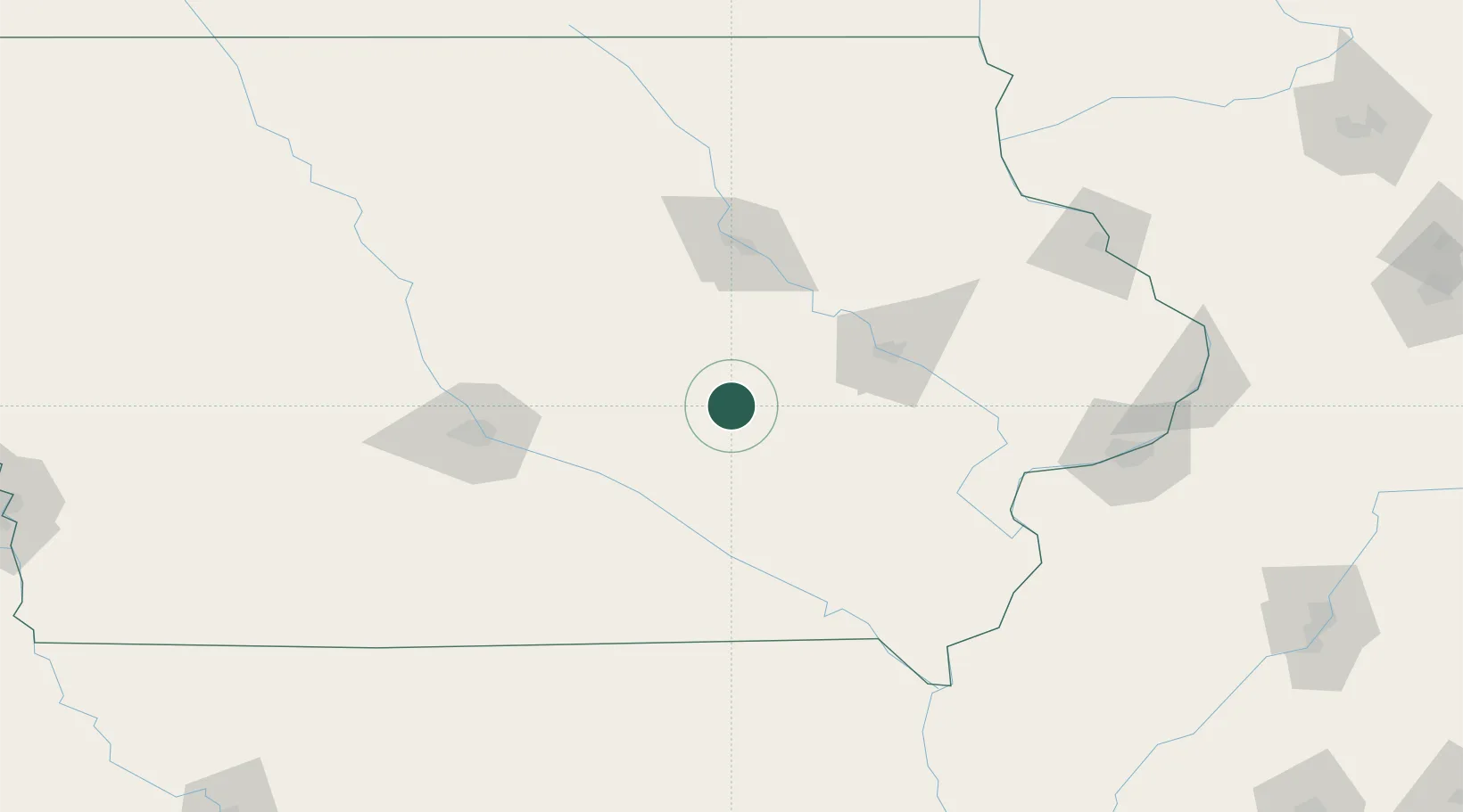
Brooklyn
41.7333°, -92.4333°
1,420
Population
3
Transport functions
Transport Functions
Rail
Road
Multimodal
Hub Profile
Place type
Populated place
Region
Iowa
Population
1,420
Time zone
America/Chicago
Elevation
278 m
Location
Nearby Logistics Neighbours
Cities
- 1Tama28 km
- 2Toleda30 km
- 3Lynnville35 km
- 4Williamsburg35 km
- 5Blairstown35 km
Ports
- 1Great Lakes385 km
- 2Waukegan388 km
- 3Kenosha392 km
- 4Wilmette395 km
- 5Racine399 km
Airports
Trade Zones
- 1FTZ No. 175 Cedar Rapids58 km
- 2FTZ No. 107 Polk County106 km
- 3FTZ No. 055 Burlington151 km
- 4FTZ No. 271 Jo-Daviess and Carroll Counties192 km
- 5FTZ No. 114 Peoria264 km
DatabookThe Record of Consolidated Knowledge
United States beyond logistics?