UN/LOCODE hub · United States
USXUX
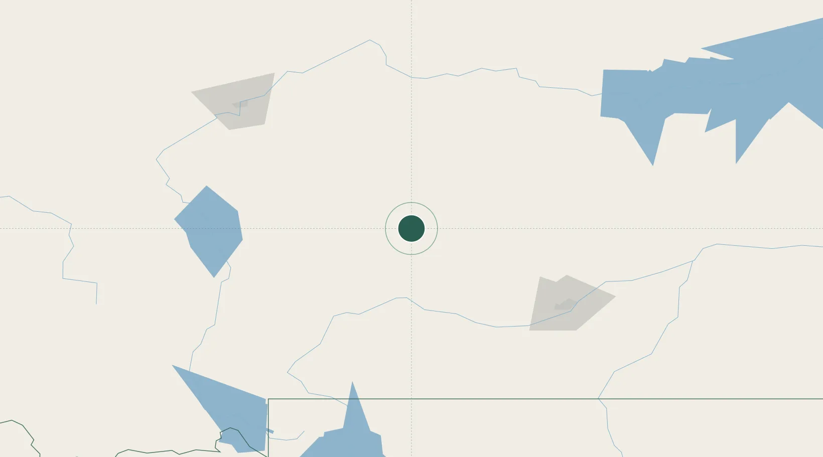
Harlowton
46.4500°, -109.8333°
979
Population
1
Transport functions
Transport Functions
Multimodal
Hub Profile
Place type
Provincial seat
Region
Montana
Population
979
Time zone
America/Denver
Elevation
1,282 m
Location
Nearby Logistics Neighbours
Ports
- 1The Dalles881 km
- 2Sacramento1293 km
- 3Courtland1318 km
- 4Walnut Grove1323 km
- 5Isleton1333 km
Airports
Trade Zones
- 1FTZ No. 088 Great Falls169 km
- 2FTZ No. 275 Lansing214 km
- 3FTZ No. 274 Butte-Silver Bow245 km
- 4FTZ No. 187 Toole County303 km
- 5Global Transportation Hub Authority581 km
DatabookThe Record of Consolidated Knowledge
United States beyond logistics?