Medium airport · United States
Yellowstone AirportKWYS
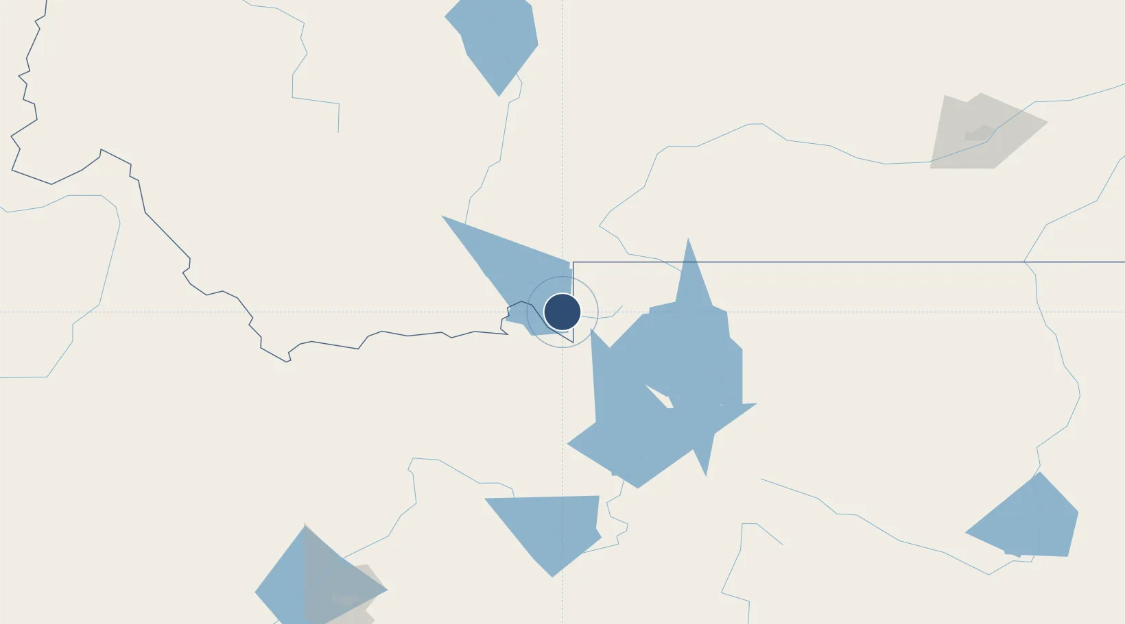
44.6884°, -111.1180°
8,400 ft
Longest runway
1
Runways
6,649 ft
Elevation
Runway & Layout

Radio Frequencies
CNTR
132.4 MHz
SALT LAKE CITY CNTR
RDO
119.4 MHz
GREAT FALLS RDO
UNIC
123 MHz
CTAF/UNICOM
Navaids
LO NDB Targy 415 kHz
Runways · 1
| Runway | Dimensions | Surface | True heading | Lit |
|---|---|---|---|---|
| 01/19 | 8,400 × 150ft | Asphalt | 026° | ✓ |
Airport Specifications
IATA code
WYS
ICAO code
KWYS
Airport class
Medium airport
Scheduled service
Yes
Runway surface
Asphalt
Served city
West Yellowstone
Location
Nearby Logistics Neighbours
Airports
- 1Bozeman Yellowstone International Airport121 km
- 2Jackson Hole Airport124 km
- 3Mission Field124 km
- 4Idaho Falls Regional Airport151 km
- 5Yellowstone Regional Airport167 km
Cities
- 1Saint Anthony93 km
- 2Gallatin Gateway102 km
- 3Sugar City104 km
- 4Alta105 km
- 5Camas116 km
Ports
- 1The Dalles795 km
- 2Sacramento1096 km
- 3Courtland1119 km
- 4Walnut Grove1124 km
- 5Stockton1132 km
Trade Zones
- 1FTZ No. 275 Lansing184 km
- 2FTZ No. 274 Butte-Silver Bow195 km
- 3FTZ No. 088 Great Falls314 km
- 4FTZ No. 030 Salt Lake City441 km
- 5FTZ No. 187 Toole County445 km
DatabookThe Record of Consolidated Knowledge
United States beyond logistics?