Transport Functions
Rail
Road
Hub Profile
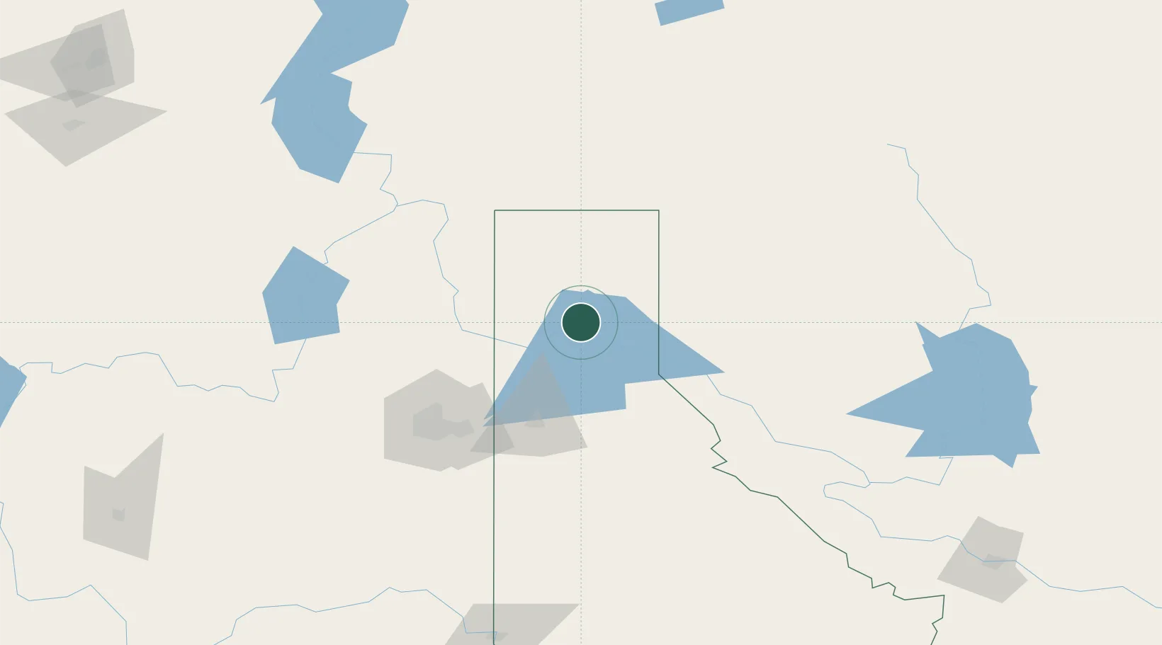
Place type
Populated place
Region
Idaho
Population
789
Time zone
America/Los_Angeles
Elevation
645 m
Location
Nearby Logistics Neighbours
Cities
- 1Bonners Ferry43 km
- 2Troy49 km
- 3Heron51 km
- 4Rathdrum64 km
- 5Hayden Lake64 km
Ports
- 1Everett424 km
- 2Mission City431 km
- 3Mukilteo431 km
- 4Seattle440 km
- 5Point Wells441 km
Airports
- 1Coeur D'Alene Airport - Pappy Boyington Field64 km
- 2Felts Field93 km
- 3Spokane International Airport108 km
- 4Trail Regional Airport115 km
- 5Fairchild Air Force Base115 km
Trade Zones
- 1FTZ No. 242 Boundary County53 km
- 2FTZ No. 224 Spokane101 km
- 3FTZ No. 203 Moses Lake249 km
- 4FTZ No. 187 Toole County313 km
- 5Calgary Region Inland Port351 km
DatabookThe Record of Consolidated Knowledge
United States beyond logistics?