Transport Functions
Port
Rail
Road
Multimodal
Hub Profile
Place type
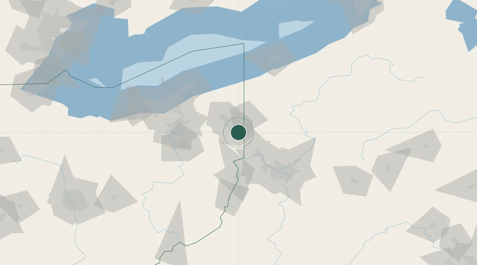
Populated place
Region
Ohio
Population
2,484
Time zone
America/New_York
Elevation
318 m
Location
Nearby Logistics Neighbours
Cities
- 1North Lima10 km
- 2Pulaski, Lawrence18 km
- 3McDonald, Trumbull19 km
- 4Coaltown20 km
- 5New Waterford20 km
Airports
Trade Zones
- 1FTZ No. 033 Pittsburgh80 km
- 2FTZ No. 181 Akron Canton96 km
- 3FTZ No. 040 Cleveland117 km
- 4FTZ No. 247 Erie129 km
- 5FTZ No. 295 Central Pennsylvania158 km
DatabookThe Record of Consolidated Knowledge
United States beyond logistics?