Foreign Trade Zone · United States

FTZ No. 295 Central Pennsylvania Under Development
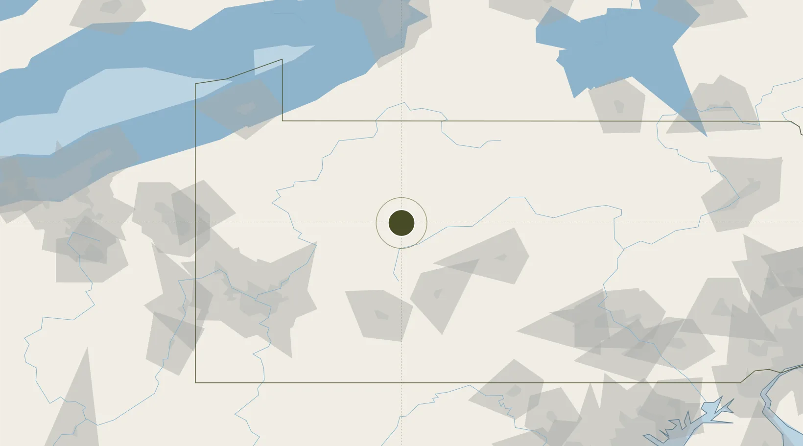
41.1115°, -78.7258°
160.6 km
Nearest port
16.3 km
Nearest airport

Gateway access

Nearest neighbours — logibook spatial index (haversine) over the source coordinates

Zone profile

Zone type
Foreign Trade Zone
Open Zone Map
Region
Pennsylvania
Open Zone Map
Status
Under Development
Open Zone Map
Management
Public-Private Partnership
Open Zone Map
Operator
Pennsylvania Foreign Trade Zone Corporation
Open Zone Map
Legal framework
Foreign-Trade Zones Act
Open Zone Map

Location

Location of ozm-4923
Natural Earth 10m (public domain) · Pennsylvania · ozm-4923 · 41.11, -78.73GoogleOSMYandex

Nearby Logistics Neighbours

Ports
  1. 1Dunkirk161 km
  2. 2Erie162 km
  3. 3Conneaut179 km
  4. 4Ashtabula194 km
  5. 5Buffalo197 km
Nearest neighbours — logibook spatial index (haversine) over the source coordinates
Airports
  1. 1DuBois Regional Airport16 km
  2. 2Bradford Regional Airport77 km
  3. 3State College Regional Airport79 km
  4. 4John Murtha Johnstown Cambria County Airport89 km
  5. 5Altoona Blair County Airport97 km
Nearest neighbours — logibook spatial index (haversine) over the source coordinates
Cities
  1. 1Reynoldsville14 km
  2. 2Brockport15 km
  3. 3Middleton25 km
  4. 4Pine Grove, Clearfield27 km
  5. 5Punxsutawney28 km
Nearest neighbours — logibook spatial index (haversine) over the source coordinates
Trade Zones
  1. 1FTZ No. 254 Jefferson County36 km
  2. 2FTZ No. 033 Pittsburgh135 km
  3. 3FTZ No. 247 Erie160 km
  4. 4FTZ No. 240 Martinsburg194 km
  5. 5FTZ No. 023 Buffalo197 km
Nearest neighbours — logibook spatial index (haversine) over the source coordinates
DatabookThe Record of Consolidated Knowledge
United States beyond logistics?
Browse databook

All Sources

Trade ZonesOpen Zone Map
CC BY
Portsthe NGA World Port Index
Public domain (US gov)
AirportsOurAirports
Public domain
LocationsUN/LOCODE
UN/LOCODE — free
← United States trade zones