UN/LOCODE hub · United States
USERF
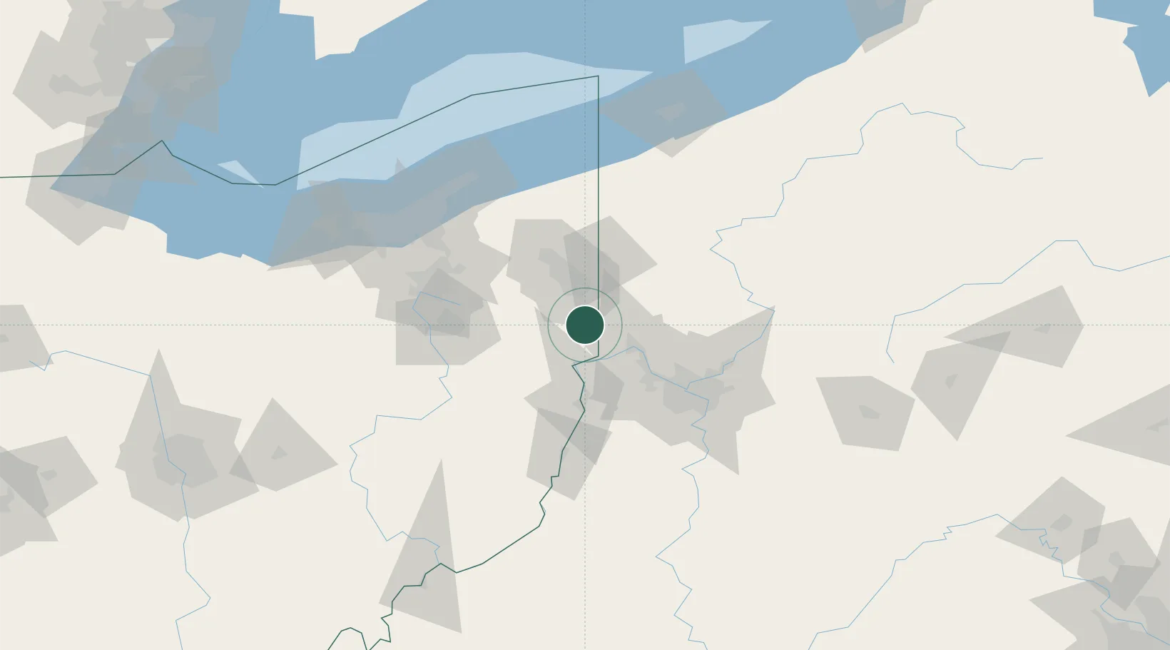
New Waterford
40.8333°, -80.6000°
1,202
Population
2
Transport functions
Transport Functions
Rail
Road
Hub Profile
Place type
Populated place
Region
Ohio
Population
1,202
Time zone
America/New_York
Elevation
319 m
Location
Nearby Logistics Neighbours
Cities
- 1East Fairfield3 km
- 2East Palestine6 km
- 3Negley8 km
- 4North Lima12 km
- 5Elkton13 km
Airports
Trade Zones
- 1FTZ No. 033 Pittsburgh64 km
- 2FTZ No. 181 Akron Canton97 km
- 3FTZ No. 040 Cleveland128 km
- 4FTZ No. 247 Erie148 km
- 5FTZ No. 295 Central Pennsylvania160 km
DatabookThe Record of Consolidated Knowledge
United States beyond logistics?