Transport Functions
Road
Multimodal
Hub Profile
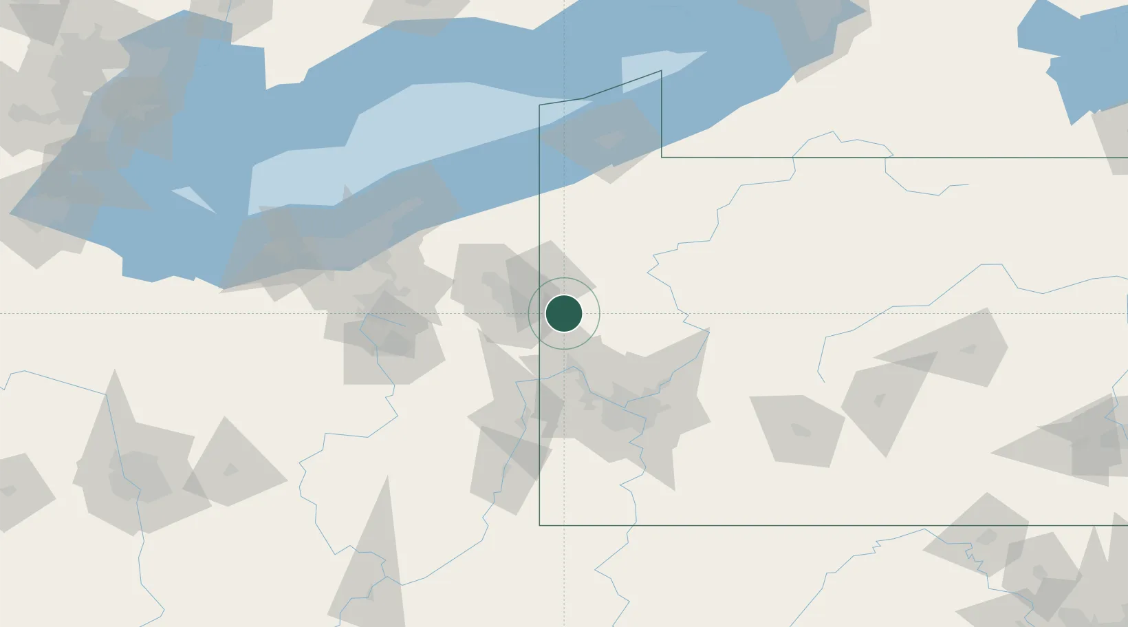
Place type
Populated place
Region
Pennsylvania
Time zone
America/New_York
Elevation
328 m
Location
Nearby Logistics Neighbours
Cities
- 1New Wilmington10 km
- 2Pulaski, Lawrence11 km
- 3Volant12 km
- 4Poland20 km
- 5Ellport23 km
Airports
Trade Zones
- 1FTZ No. 033 Pittsburgh72 km
- 2FTZ No. 181 Akron Canton116 km
- 3FTZ No. 247 Erie122 km
- 4FTZ No. 040 Cleveland134 km
- 5FTZ No. 295 Central Pennsylvania138 km
DatabookThe Record of Consolidated Knowledge
United States beyond logistics?