Transport Functions
Rail
Road
Multimodal
Hub Profile
Place type
Populated place
Region
Ohio
Time zone
America/New_York
Elevation
336 m
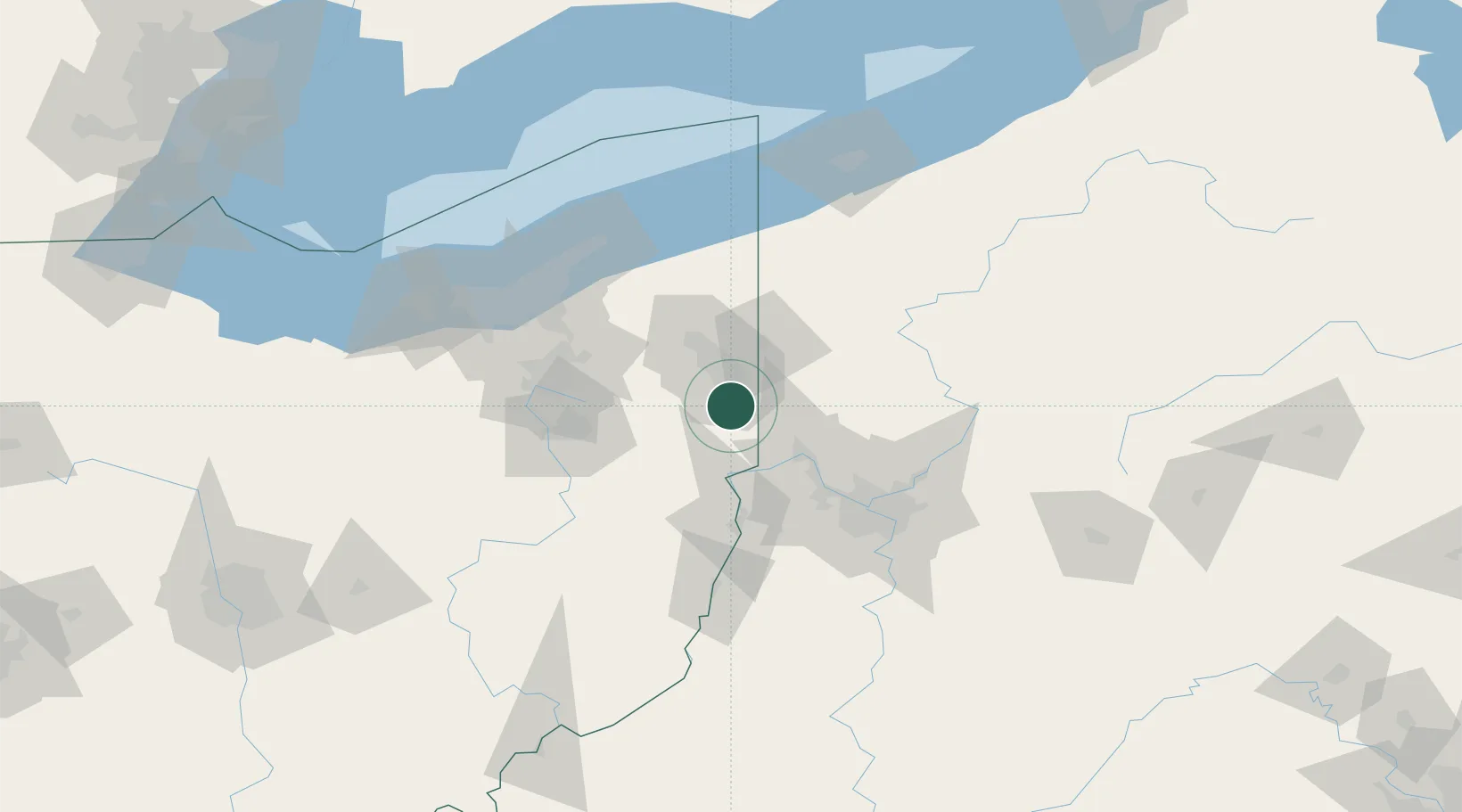
Location
Nearby Logistics Neighbours
Cities
- 1Poland10 km
- 2Leetonia11 km
- 3New Waterford12 km
- 4East Fairfield13 km
- 5East Palestine15 km
Airports
Trade Zones
- 1FTZ No. 033 Pittsburgh75 km
- 2FTZ No. 181 Akron Canton92 km
- 3FTZ No. 040 Cleveland118 km
- 4FTZ No. 247 Erie139 km
- 5FTZ No. 295 Central Pennsylvania163 km
DatabookThe Record of Consolidated Knowledge
United States beyond logistics?