Transport Functions
Port
Rail
Road
Hub Profile
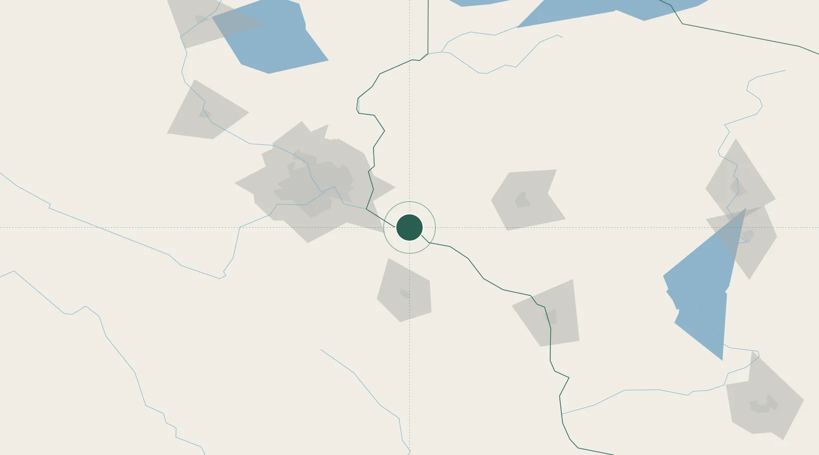
Place type
Populated place
Region
Wisconsin
Population
484
Time zone
America/Chicago
Elevation
211 m
Location
Nearby Logistics Neighbours
Airports
Trade Zones
DatabookThe Record of Consolidated Knowledge
United States beyond logistics?