Medium airport · United States
Bowerman AirportKHQM
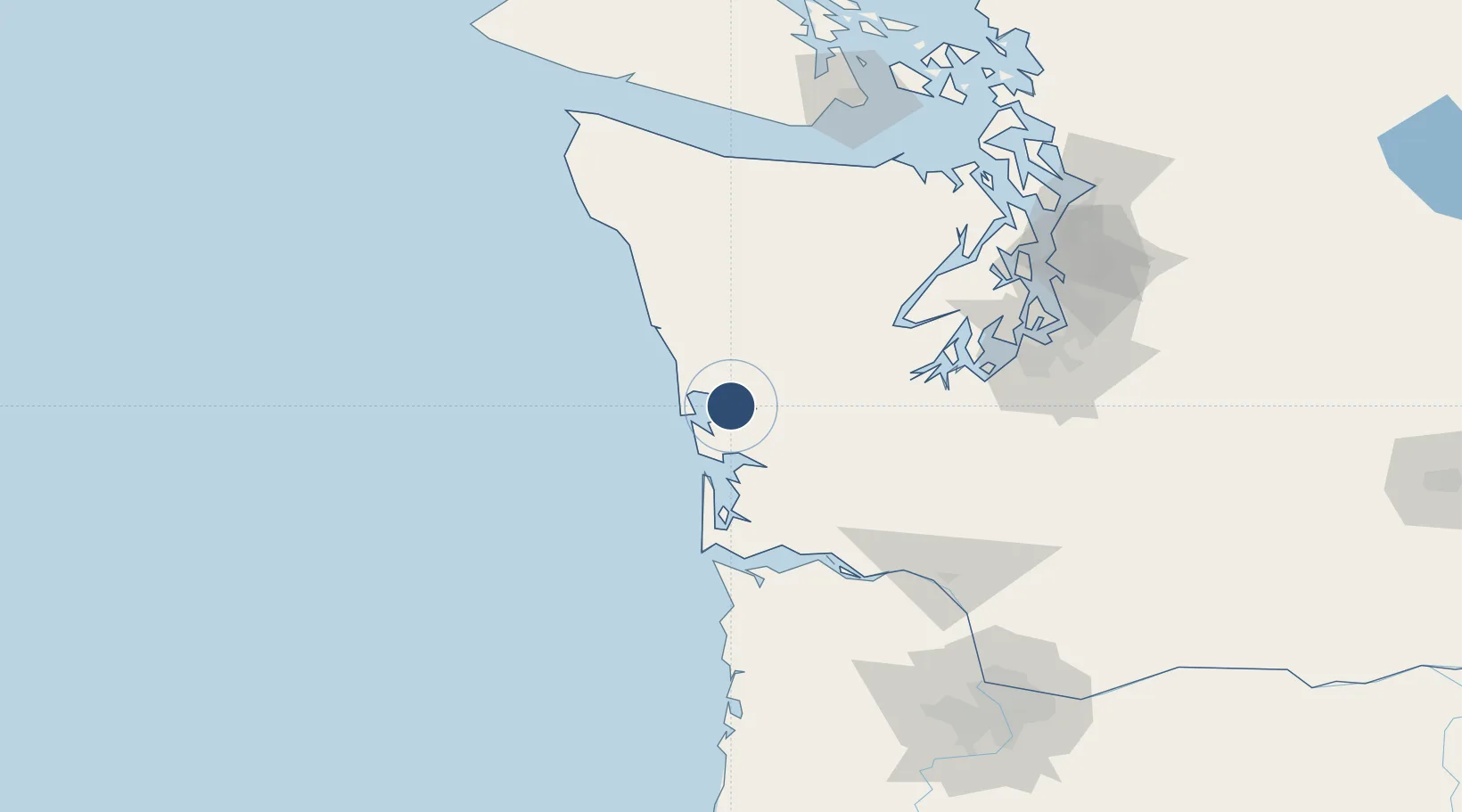
46.9712°, -123.9370°
5,000 ft
Longest runway
1
Runways
18 ft
Elevation
Runway & Layout

Radio Frequencies
ASOS
135.775 MHz
CNTR
128.3 MHz
SEATTLE CNTR
RDO
122.2 MHz
SEATTLE RDO
UNIC
122.7 MHz
CTAF/UNICOM
Navaids
HQ NDB Abern 236 kHz
HQM VORTAC Hoquiam 117.70 MHz
Runways · 1
| Runway | Dimensions | Surface | True heading | Lit |
|---|---|---|---|---|
| 06/24 | 5,000 × 150ft | Asphalt | 080° | ✓ |
Airport Specifications
IATA code
HQM
ICAO code
KHQM
Airport class
Medium airport
Scheduled service
No
Runway surface
Asphalt
Served city
Hoquiam
Location
Nearby Logistics Neighbours
Airports
- 1Olympia Regional Airport79 km
- 2Astoria Regional Airport91 km
- 3Gray Army Air Field104 km
- 4Bremerton National Airport106 km
- 5Tacoma Narrows Airport108 km
Cities
- 1Grays Harbor City2 km
- 2Satsop36 km
- 3Raymond36 km
- 4Elma41 km
- 5McCleary53 km
Ports
- 1Hoquiam3 km
- 2Aberdeen9 km
- 3Westhaven Cove15 km
- 4Willapa Harbor35 km
- 5Raymond36 km
Trade Zones
- 1FTZ No. 173 Grays Harbor38 km
- 2FTZ No. 216 Olympia77 km
- 3FTZ No. 212 Tacoma111 km
- 4FTZ No. 120 Cowlitz County118 km
- 5FTZ No. 086 Tacoma120 km
DatabookThe Record of Consolidated Knowledge
United States beyond logistics?