Transport Functions
Port
Rail
Road
Multimodal
Hub Profile
Place type
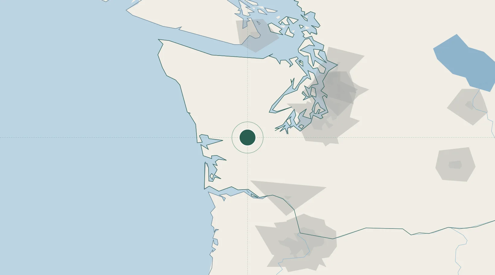
Populated place
Region
Washington
Population
675
Time zone
America/Los_Angeles
Elevation
13 m
Location
Nearby Logistics Neighbours
Cities
- 1Elma5 km
- 2McCleary17 km
- 3Grays Harbor City37 km
- 4Raymond40 km
- 5Olympia43 km
Ports
- 1Aberdeen27 km
- 2Hoquiam33 km
- 3Shelton37 km
- 4Raymond41 km
- 5Willapa Harbor41 km
Airports
- 1Bowerman Airport36 km
- 2Olympia Regional Airport43 km
- 3Gray Army Air Field68 km
- 4Tacoma Narrows Airport74 km
- 5Bremerton National Airport76 km
Trade Zones
- 1FTZ No. 216 Olympia41 km
- 2FTZ No. 173 Grays Harbor70 km
- 3FTZ No. 212 Tacoma76 km
- 4FTZ No. 086 Tacoma85 km
- 5FTZ No. 005 Seattle101 km
DatabookThe Record of Consolidated Knowledge
United States beyond logistics?