Transport Functions
Rail
Road
Hub Profile
Place type
Populated place
Region
Wisconsin
Population
36,891
Time zone
America/Chicago
Elevation
229 m
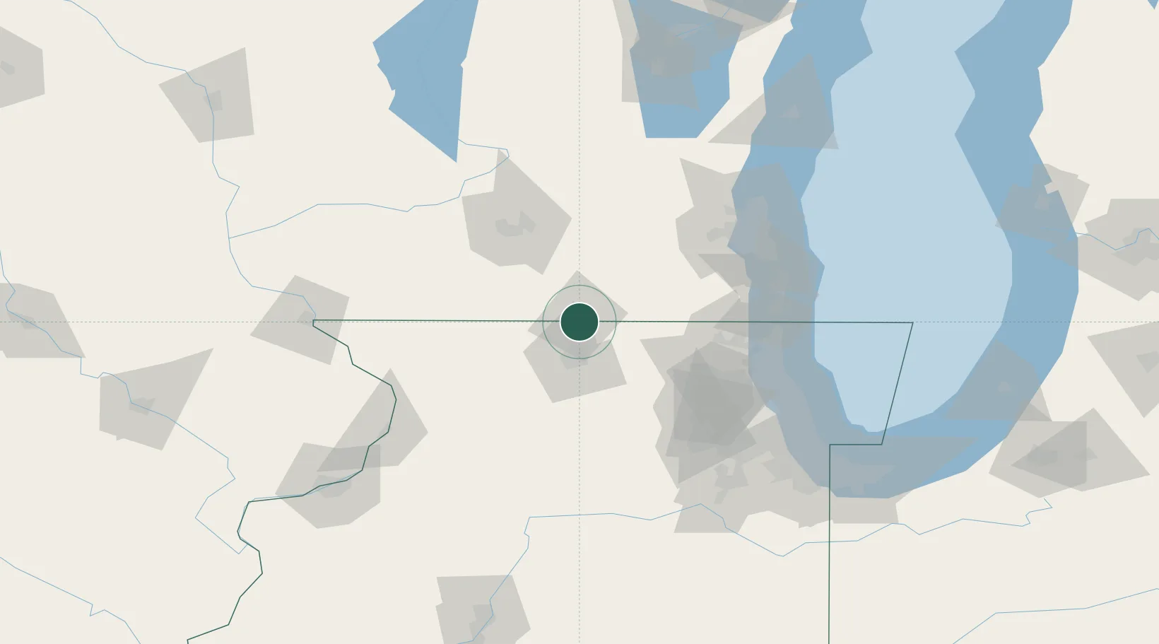
Location
Nearby Logistics Neighbours
Cities
- 1Clinton15 km
- 2Janesville15 km
- 3Machesney Park19 km
- 4Loves Park20 km
- 5Sharon26 km
Ports
- 1Kenosha100 km
- 2Waukegan101 km
- 3Great Lakes101 km
- 4Racine106 km
- 5Milwaukee111 km
Airports
Trade Zones
DatabookThe Record of Consolidated Knowledge
United States beyond logistics?