Transport Functions
Road
Multimodal
Hub Profile
Place type
Populated place
Region
Idaho
Time zone
America/Boise
Elevation
1,097 m
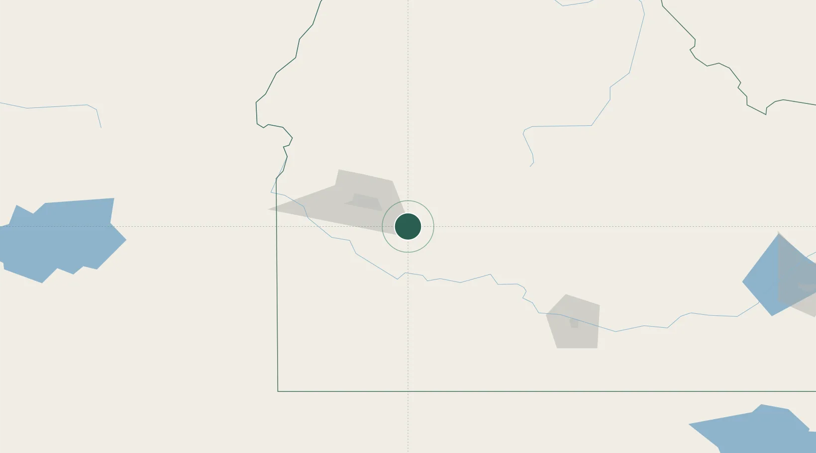
Location
Nearby Logistics Neighbours
Cities
- 1Eagle, Ada48 km
- 2Sunnyslope74 km
- 3Parma93 km
- 4New Plymouth96 km
- 5Nyssa103 km
Ports
- 1The Dalles484 km
- 2Washougal565 km
- 3Camas569 km
- 4Portland585 km
- 5Vancouver591 km
Airports
- 1Boise Air Terminal/Gowen Field31 km
- 2Mountain Home Air Force Base42 km
- 3Ontario Municipal Airport112 km
- 4Stanley Airport117 km
- 5Friedman Memorial Airport130 km
Trade Zones
- 1FTZ No. 280 Ada and Canyon Counties94 km
- 2FTZ No. 274 Butte-Silver Bow364 km
- 3FTZ No. 275 Lansing392 km
- 4FTZ No. 030 Salt Lake City436 km
- 5FTZ No. 224 Spokane489 km
DatabookThe Record of Consolidated Knowledge
United States beyond logistics?