Transport Functions
Rail
Road
Hub Profile
Place type
Populated place
Region
Mississippi
Time zone
America/Chicago
Elevation
104 m
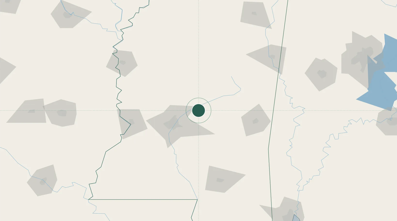
Location
Nearby Logistics Neighbours
Cities
- 1Brandon42 km
- 2Coldwater51 km
- 3Pocahontas54 km
- 4Flora55 km
- 5Puckett56 km
Ports
- 1Madisonville244 km
- 2Gulfport254 km
- 3Biloxi255 km
- 4Slidell256 km
- 5Mobile259 km
Airports
Trade Zones
- 1FTZ No. 158 Vicksburg Jackson104 km
- 2FTZ No. 287 Tunica County249 km
- 3FTZ No. 092 Harrison County249 km
- 4FTZ No. 082 Mobile260 km
- 5FTZ No. 262 Southaven267 km
DatabookThe Record of Consolidated Knowledge
United States beyond logistics?