UN/LOCODE hub · United States
USQHD
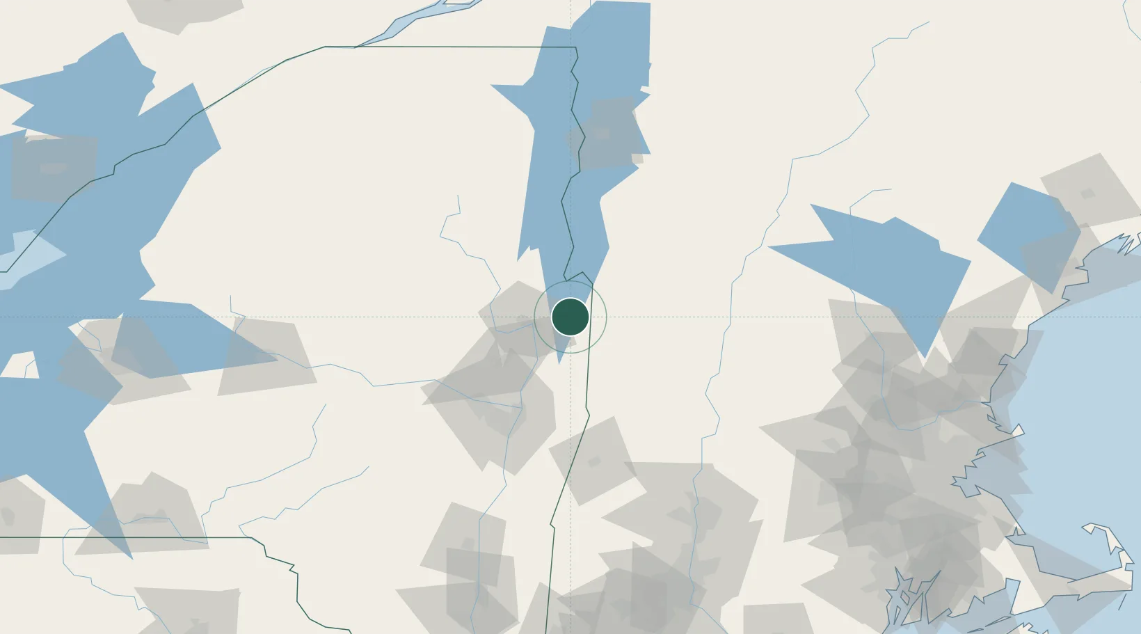
Hartford
43.3500°, -73.3833°
2,240
Population
2
Transport functions
Transport Functions
Road
Multimodal
Hub Profile
Place type
Populated place
Region
New York
Population
2,240
Time zone
America/New_York
Elevation
119 m
Location
Nearby Logistics Neighbours
Cities
- 1Hebron13 km
- 2Whitehall22 km
- 3Dorset26 km
- 4Fair Haven28 km
- 5Battenville28 km
Ports
- 1Troy73 km
- 2Albany83 km
- 3Rensselaer83 km
- 4Catskill132 km
- 5Kingston165 km
Airports
Trade Zones
- 1FTZ No. 121 Albany79 km
- 2FTZ No. 268 Brattleboro84 km
- 3FTZ No. 201 Holyoke137 km
- 4FTZ No. 071 Windsor Locks170 km
- 5FTZ No. 081 Portsmouth208 km
DatabookThe Record of Consolidated Knowledge
United States beyond logistics?